

Guided by historic documents and modern technology, Vineyard Land Surveying has located two historic boundary markers and reestablished the town line running through Menemsha Pond between Chilmark and Aquinnah. Ice floes in the pond this winter dislodged three wooden piles, including one that marked the town line.
Bill Austin of Vineyard Land Surveying said it was the company’s first time locating historic markers and reestablishing a town line. With the aid of the Global Positioning System (GPS), surveyors have driven three metal pipes at intervals along the line, topping each one with an orange milk jug to alert boaters.

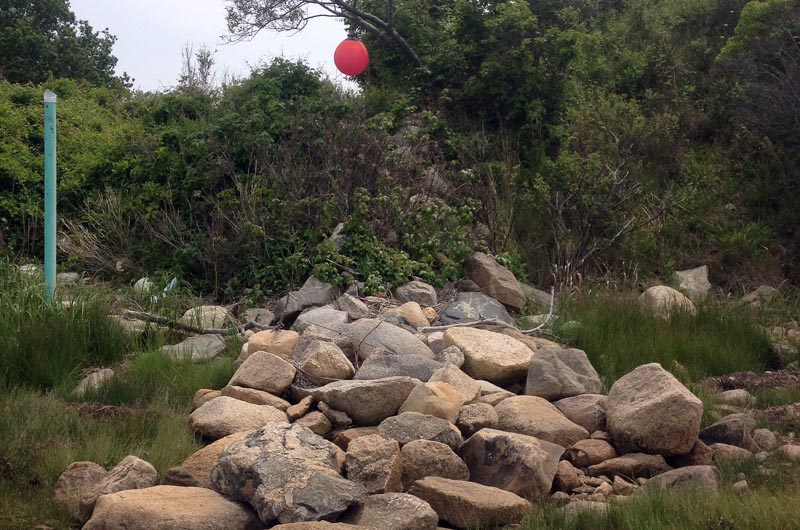
Town boundaries around the Island are marked by boulders, stone walls, copper bolts and other stationary objects. At Menemsha Pond, a small boulder with five drill holes marks the south end of the town line, and a half-inch copper bolt in a larger boulder known as Pease’s Rock marks the north end.
The smaller boulder, which is accompanied by a red buoy hanging from a tree, was easy to spot, Mr. Austin said. But Pease’s Rock was more elusive. “Nobody had been to it in a long time and it was very heavily overgrown in the puckerbrush,” he said. “So we had to whack around a little bit to find it.”
An atlas of town boundaries from around 1900 served as a starting point for the search. In addition to maps and descriptions, it includes detailed coordinates for each marker, but surveying at the time was less refined than it is today. “That’s always an issue whenever you go back into any old records,” Mr. Austin said. “The distances between the monuments, the directions, all that stuff will match very well, but it will look like somebody just took the grid and moved it over 100 feet.”
He did not believe that either marker had been moved since the early survey.
In response to concerns that scallopers were crossing the line from Chilmark into Aquinnah this year, the Chilmark selectmen prohibited scalloping near the center of the pond. The scalloping season in Chilmark ended April 17, but questions remained as to whether fishermen were overstepping their boundaries.
Aquinnah town administrator Adam Wilson said Monday that the concerns were mostly speculation. He added that the town line in Menemsha Pond had likely never been an issue before this winter. “It was a well established, marked line,” he said.

Mr. Austin explained how at low tide the ice would freeze around the piles. When the tide came in, it would lift the ice as well as the piles — a process known as ice jacking. The one remaining pile is “very close to the town line,” he said, but is tilted as a result of the ice. Chilmark and Aquinnah harbor masters will decide where along the line the new piles will go and whether the existing pile should be replaced.
“We wanted to do the survey to make sure they were in exactly the right [spot] so there wasn’t any controversy later,” said Chilmark executive secretary Tim Carroll, who believed that only one or two piles would be needed.
Mr. Wilson estimated the total cost of the project would be about $5,000.
Aquinnah harbor master Brian Vanderhoop has requested that Vineyard Land Surveying also locate the boundary markers at Squibnocket Pond, which lies between the two towns. But at a recent meeting of the selectmen, Mr. Carroll was not eager to pursue that project right away, in part because the pond does not have an active fishery.
Selectman Bill Rossi agreed. “We can talk about it, but let’s just go ahead with this and get this done,” he said.


Comments
Comment policy »