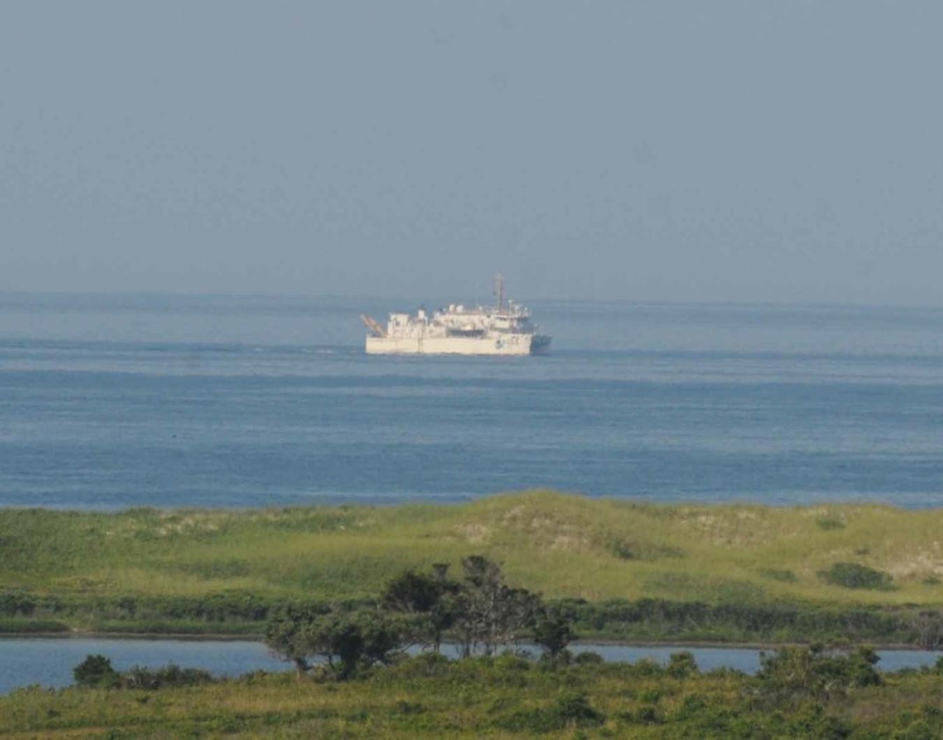
The coastal mapping vessel Ferdinand R. Hassler is nearing the end of a two-month mission to gather data south of the Vineyard. The data will be used to update nautical charts that are based on surveys conducted mostly before 1940.
The massive twin-hull ship, owned by the National Oceanic and Atmospheric Administration and stationed in New Castle, N.H., is now working about three and a half miles south of Squibnocket Beach in Chilmark. It will later move about six miles from shore.
Commanding officer Marc S. Moser, speaking by phone from aboard the ship on Tuesday, reported finding several uncharted boulders east of Squibnocket Bight, in addition to some previously charted shipwrecks. The mission covers 188 square nautical miles, extending about 12 nautical miles from shore.
Earlier surveys were completed mostly between 1900 and 1940, although an area north of Gay Head was surveyed after 1990. “It’s a mix of ages,” Mr. Moser said. “More importantly, it’s a mix of technology that was used to acquire the data. One hundred years ago they were using very simple technology.”
Modern equipment aboard the Ferdinand R. Hassler includes a sonar system to determine the depth of the sea floor and identify boulders, shipwrecks and other potential obstacles for mariners. On Tuesday the crew was preparing to deploy a tide buoy to take further measurements.
NOAA determines where and when to deploy the Ferdinand R. Hassler, a 124-foot Waterplane Area Twin Hull (SWATH) vessel, which was delivered in 2011 and is one of its kind in the NOAA fleet. Mr. Moser believed that the age of the local surveys had likely made the Vineyard a strong candidate for the mission.
Some of the areas remain true to the early surveys, Mr. Moser said, but new surveys are an important safeguard for mariners. “There are strong currents here, so shoals can move around,” he said.
During the mission, which has progressed in a series of two-week legs, the crew has reported several whale sightings, including a group of finback whales, to NOAA’s National Marine Fisheries Service. Mr. Moser said the sightings have picked up during the most recent leg of the mission.
The Ferdinand R. Hassler is designed for an area spanning the Great Lakes and the Gulf of Mexico. After leaving the Vineyard on Monday, it will eventually head south to survey the area around Cape Henry at the head of Chesapeake Bay.


Comments (2)
Comments
Comment policy »