Hurricanes and Storms
Hurricanes and Storms
September 16, 2023


Lee Passes Vineyard, Causing Little Damage
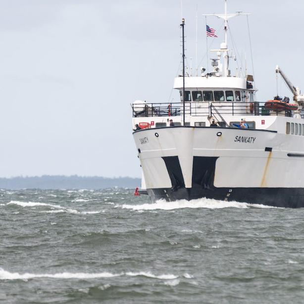
The Island saw some rain and winds, but only experienced a handful of power outages and canceled ferries Friday night into Saturday.
September 15, 2023
Island Braces for Hurricane Lee
The hurricane is projected to pass to the east of the Vineyard and Nantucket Saturday, bringing strong winds and high surf.
September 14, 2023

Vineyard Under Tropical Storm Warning
With Hurricane Lee expected to pass offshore of Martha’s Vineyard Saturday, the National Weather Service has issued a tropical storm warning for Dukes County. The storm could hit the Island with tropical storm-force winds within the next 36 hours.
September 12, 2023

Islanders Prepare for Hurricane Lee
The storm, a category 3 hurricane as of Wednesday afternoon, is poised to lose some of its strength as it moves over colder Atlantic waters, but Islanders are readying themselves for strong winds this weekend.
May 31, 2022

NOAA Predicts Active Year for Hurricanes
For the seventh straight year, the National Oceanic and Atmospheric Administration is predicting an active hurricane season, amid warming ocean temperatures and shifting weather patterns across the globe.
January 30, 2022

After the Blizzard, Town Managers Praise Response
The Vineyard was spared major damage from the daylong blizzard that swept across the Island Saturday, town and emergency managers said.
January 29, 2022

Winter Northeaster Leaves Island Digging Out
Martha’s Vineyard began digging out early Sunday after a daylong blizzard lashed the Island with high winds and drifting snow.
January 28, 2022

Storm Preparations Under Way; SSA Cancels Ferry Service for Saturday
Blizzard warnings and travel advisories were up on Martha’s Vineyard Friday as a powerful northeast winter storm made its way up the mid-Atlantic. The Steamship Authority announced that all ferry service would be suspended Saturday.
October 27, 2021

Northeaster Batters Island, Leaving Widespread Damage
Crews were working around the clock on cleanup efforts after a ferocious northeaster swept across the Island early in the week, packing hurricane-force winds.
August 22, 2021

Henri Brings Wind, Rain, Heavy Surf, But No Damage on Island
Martha’s Vineyard bid bon voyage to tropical storm Henri Sunday afternoon, which brought mist, occasional downpours, wind and choppy surf but inflicted minimal damage across the Island as it swirled north, west and inland by evening. The Steamship Authority returned to full operations by 5 p.m.