Time Machine Terms
February 28, 1941
Government to Take Only Part of Hill
The section of Peaked Hill which the government proposes to take for the purpose of establishing a signal station represents only a small part of the Peaked Hill property so-called. The entire property comprises 150 acres, and the part chosen by the government is a four and a half acre plot, which includes the site of the triangulation point monument previously erected there. It is not, as a matter of fact, the highest point of the Vineyard’s loftiest eminence, 311 feet in height, but it is regarded as line of the most beautiful. It is the peak nearest the Middle Road.
February 21, 1941
Completes Search Aimed at Acquiring Peaked Hill
Garrett Hagen, of the United States Department of Justice, has completed a search at the registry of deeds in Edgartown looking toward the acquisition of Peaked Hill by the federal government for the purposes of a signal station. The hill at present is owned principally by John Wesley Whiting. Preliminary surveys were made some time ago.
Mr. Hagen was assisted by a secretary and representatives of the federal engineers, and was accompanied also by a car and a chauffeur.
February 7, 1941
Dukes County Has 3,799 “Housing Units” for Its 5,699 Inhabitants
Dukes County boasts a total of 3,799 “housing units,” for its 5,669 inhabitants, according to revised figures issued by the U.S. Bureau of the Census for 1940. At the time the tally was made 1,699 of the houses were occupied, 524 were vacant and for sale or for rent, and 1,576 were vacant for other reasons.
January 10, 1941
Vineyard Observation Posts to Participate
The six Martha’s Vineyard observation posts will participate with the 700 similar posts scattered throughout New England in the communications test of the Air Defense Command which will be held this morning between the hours of 10 a. m. and 12 noon. The test is being given for the purpose of instructing observers of the Aircraft Warning Service and setting up a well-working telephone circuit between each observation post and the army information center at Mitchel Field, New York, headquarters of the Air Defense Command.
December 6, 1940
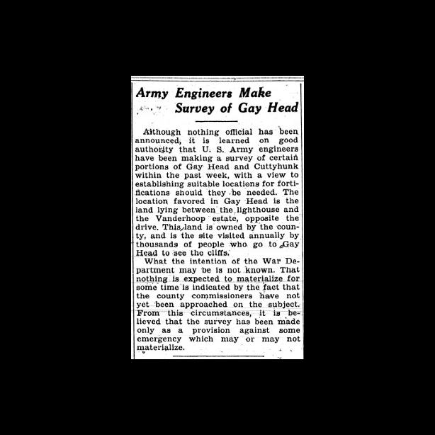
Army Engineers Make Survey of Gay Head
Although nothing official has been announced, it is learned on good authority that U.S. Army engineers have been making a survey of certain portions of Gay Head and Cuttyhunk within the past week, with a view to establishing suitable locations for fortifications should they be needed. The location favoried in Gay Head is the land lying between the lighthouse and the Vanderhoop estate, opposite the drive. This land is owned by the county, and is the site visited annually by thousands of people who go to Gay Head to see the cliffs.
October 18, 1940
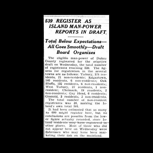
539 Register As Island Man-Power
The eligible, man-power of Dukes County registered for the selective draft on Wednesday, the total number of registrants reaching 539. The figures for registration in the several towns are as follows: Tisbury, 174 resdents, 21 non-residents; Edgartown, 140 residents, 6 non-residents; Oak Bluffs, 132 residents, 6 non-residents; West Tisbury, 27 residents, 1 non-resident; Chilmark, 19 residents, 2 non-residents; Gay Head, 6 residents; Gosnold, 3 residents, 2 non-residents.
October 18, 1940
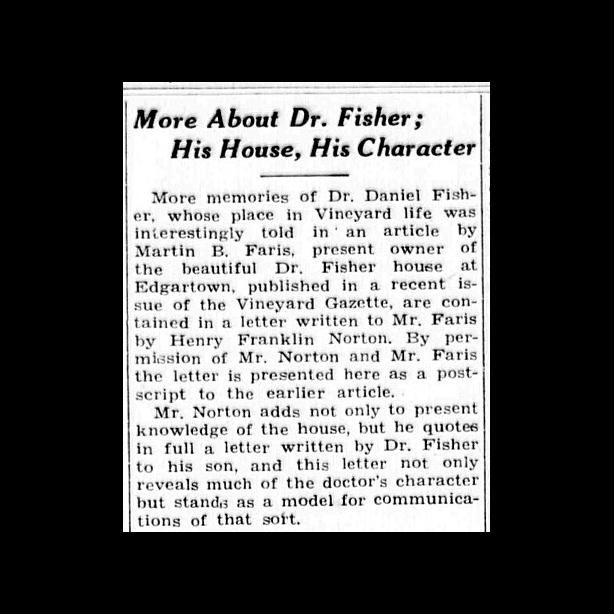
More About Dr. Fisher; His House, His Character
More memories of Dr. Daniel Fisher, whose place in Vineyard life was interestingly told in an article by Martin B. Faris, present owner of the beautiful Dr. Fisher House at Edgartown, published in a recent issue of the Vineyard Gazette, are contained in a letter written to Mr. Faris by Henry Franklin Norton. By permission of Mr. Norton and Mr. Faris the letter is presented here as a postscript to the earlier article.
August 20, 1940
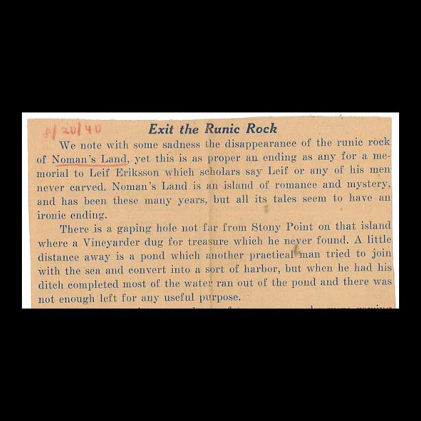
Editorial: Exit the Runic Rock
We note with some sadness the disappearance of the runic rock of Noman’s Land, yet this is as proper an ending as any for a memorial to Leif Eriksson which scholars say Leif or any of his men never carved. Noman’s Land is an island of romance and mystery, and has been these many years, but all its tales seem to have an ironic ending.
August 16, 1940
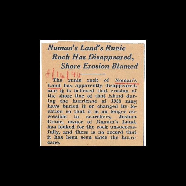
Noman’s Land’s Runic Rock Has Disappeared, Shore Erosion Blamed
The runic rock of Noman’s Land has apparently disappeared, and it is believed that erosion of the shore line of that island during the hurricane of 1938 may have buried it or changed its location so that it is no longer accessible to searchers, Joshua Crane, owner of Noman’s Land, has looked for the rock unsuccessfully, and there is no record that it has been seen since the hurricane.
May 31, 1940
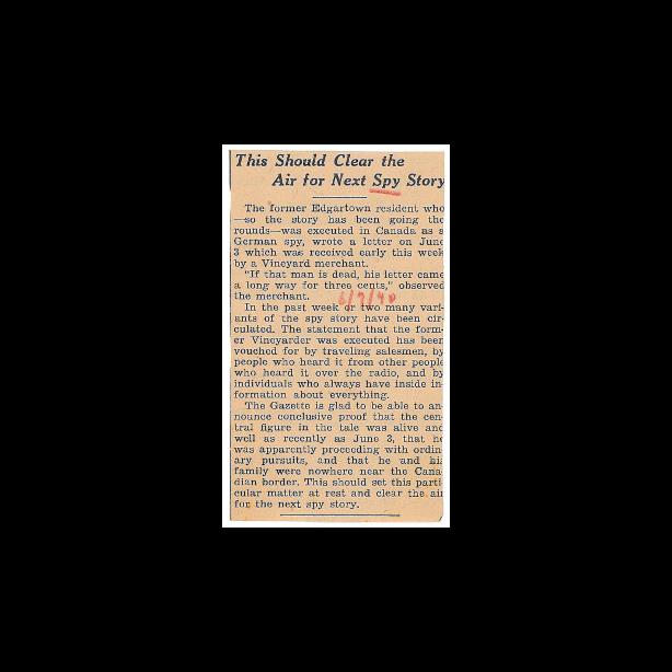
When Is a Spy Not a Spy? And How Do Spy Stories Start and Where Do They Lead?
These are questions which have taken considerable of the Gazette staff’s time for the past week or so, and the result is not substantial.


