
Work on the East Chop bulkhead and jetties to prevent further erosion of the sightly cliff and drive, began on Tuesday when a gang of workmen in charge of superintendent H. L. Curtis of C. W.
Erosion
1999
December 31, 1999
The changing shoreline on Martha's Vineyard variously fascinates, startles or horrifies people, depending on where they live or own property. The strongest supporting images of erosion are provided by destruction of buildings located at the water's edge, such as lighthouses and Worlds War II military bunkers. Among the latter, a concrete bunker (part of the Katama Naval Air Station target track) once 180 feet from the shore at South Beach in Edgartown was last seen far offshore, drowned in the surf. The associated rate of shoreline retreat comes to about 12 feet per year.
1929
July 12, 1929
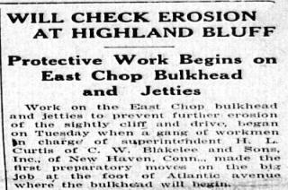
Work on the East Chop bulkhead and jetties to prevent further erosion of the sightly cliff and drive, began on Tuesday when a gang of workmen in charge of superintendent H. L. Curtis of C. W. Blakelee and Sons, Inc., of New Haven, Conn., made the first preparatory moves on the big job at the foot of Atlantic avenue where the bulkhead will begin.
Workers have already begun forming new dunes on South Beach’s Left Fork, using dredged sand from Katama Bay and Herring Creek. Both water bodies had filled with sand after December and January’s storms.
Long used as a lifeguard building, the Donnelly house was the last in a long history of South Beach fishing shacks.
Pages
- « most recent
- ‹ more recent
- …
- 4
- 5
- 6
- 7
- 8
- 9
- 10
- 11
- 12