
Island Neighborhoods

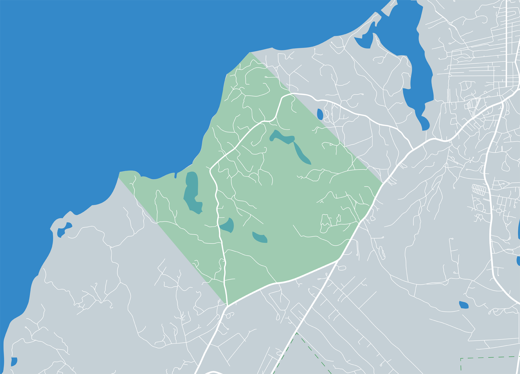
At the westernmost tip of the Island, Aquinnah is home to some of the Island’s most popular views. The mostly commercial area of Aquinnah Circle is Wampanoag territory, evidenced by the small, tribe-owned shops, restaurants, and the Aquinnah Cultural Center. The north shore boasts modest homes off Lighthouse Road while the south shore has Moshup Trail, which meanders past Philbin Beach along to...
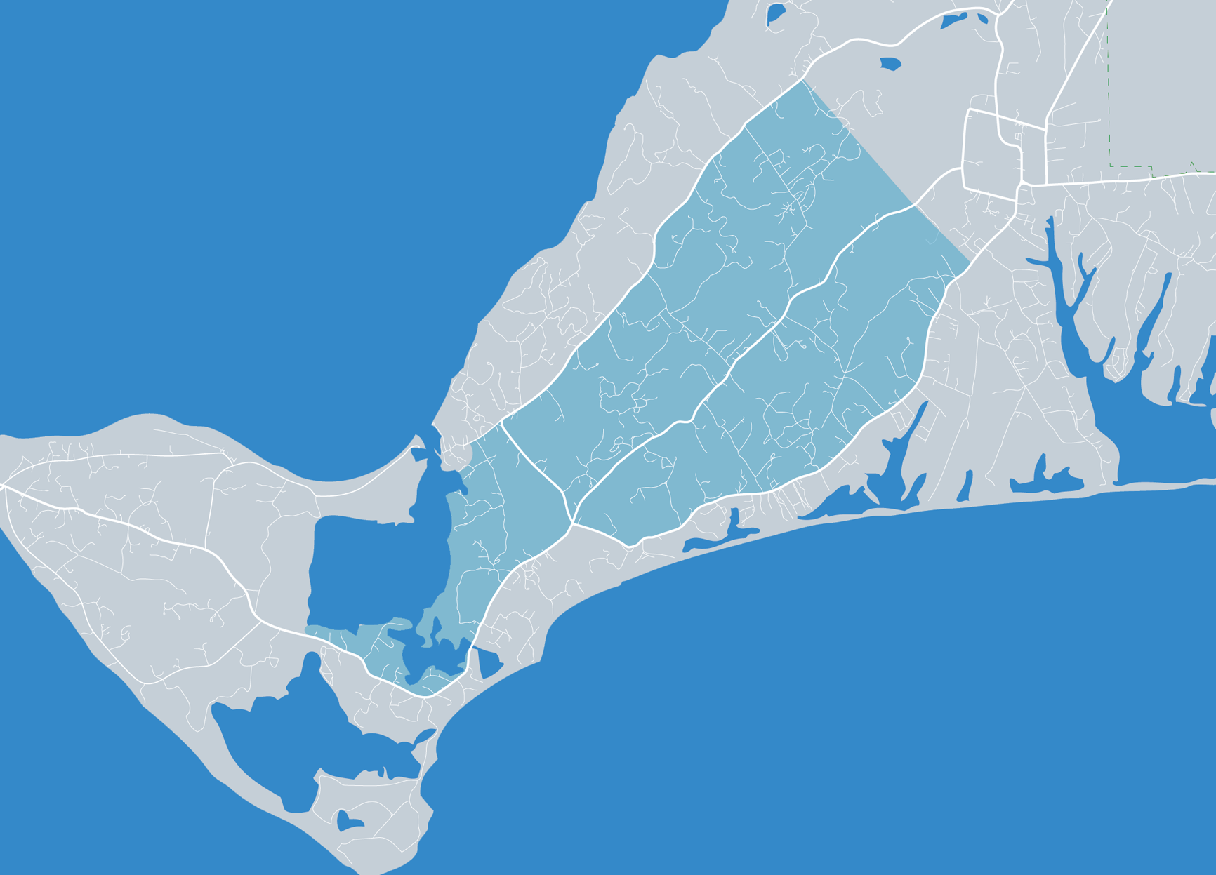
One of the most scenic roads on the Island, Middle Road is a unique area with stone walls and stunning views across farmland to the distant Atlantic Ocean. It is carefully protected by the town, therefore buses and large commercial vehicles are prohibited. The Yard, a summer dance colony, is situated off Middle Road near Beetlebung Corner, the Chilmark town center.
The small fishing village of Menemsha is part of Chilmark, but also a world unto itself. Here, multi-generational fleets are devoted to what lies just beyond the shore. Those not employed on the high seas seek their own catches of sorts from the fish markets, restaurants, and small shops. During the busy summer months crowds flock to the public beach for the famous sunsets.
Menemsha in the...
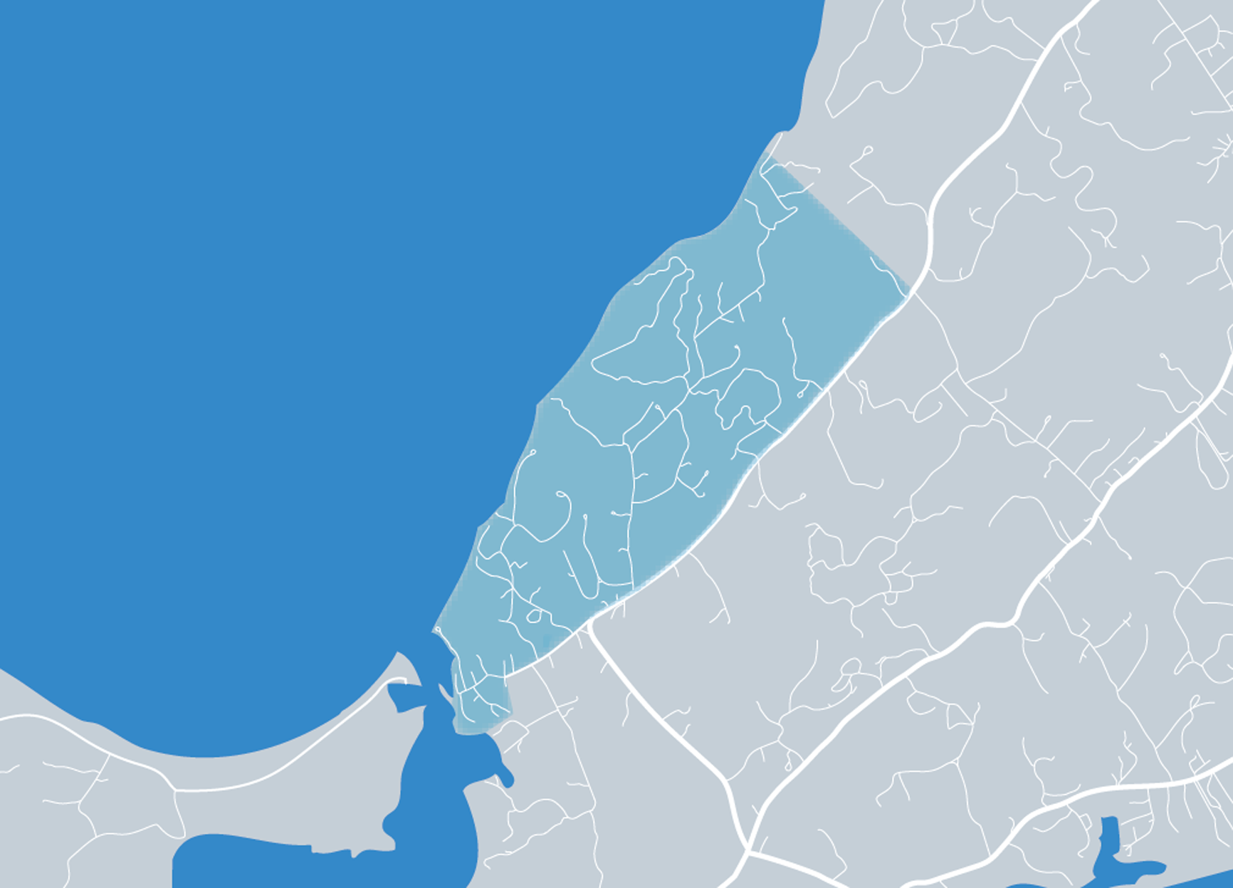
Beech and oak forest, clay soils, and rushing brooks are the signatures of Chilmark’s north shore, historically the site of waterfront commerce where paint and bricks were made using the native clay. It’s rural, scenic, and sparsely developed. Seven Gates Farm, Spring Point, Old Farm Road, and Tea Lane are all residential areas off North Road.
North Shore in the News
Conservation and...

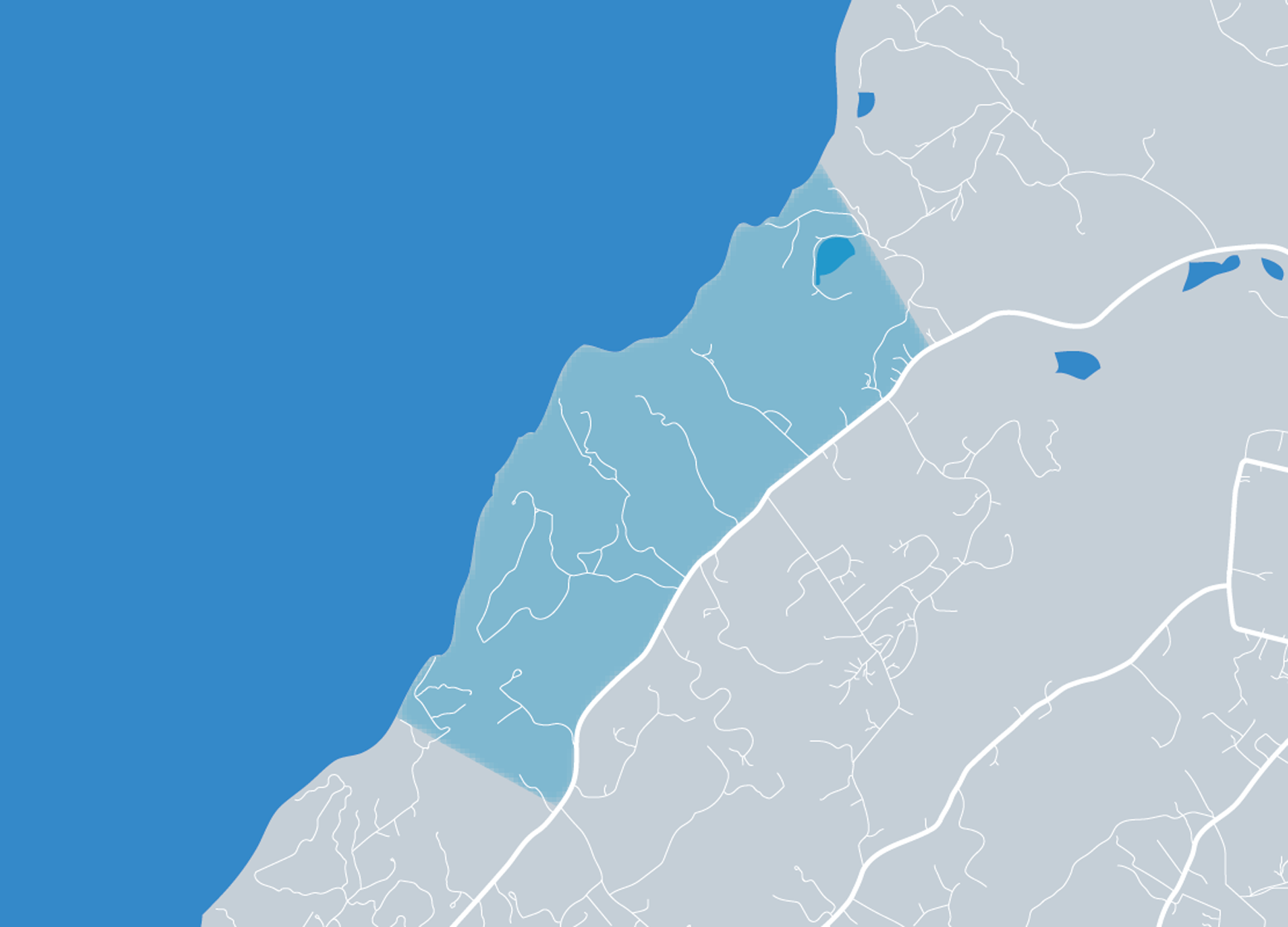
Quansoo, Abel’s Hill, Chilmark Pond, Nashaquitsa Pond, and Stonewall Beach are all included in this Atlantic-facing section of Chilmark, where ancient stone walls frame the roads and wide, grassy moors and farm fields run to the sea. Beaches are mostly private; Lucy Vincent and Squibnocket are public but reserved for town residents in the summer.
South Shore Chilmark in the News
Erosion on...
This area just south of the Edgartown-Vineyard Haven Road includes a maze of residential subdivisions built about thirty-five years ago on former farmland, including Dodger’s Hole and Smith Hollow. Many are interconnected and the area of residential homes stretches all the way to the Edgartown-West Tisbury Road to the south. Bike paths provide easy, car-free access into town.
Central...

Derived from a Native American word meaning “separated island,” Chappy, as it is called, is located off the eastern end of Edgartown and accessed by a three-car ferry. There are about 100 year-round residents and many more seasonal homeowners. With more than 800 acres of public beach and conservation land, it draws saltwater fishermen, kayakers, and bird watchers. There is no commercial zoning...

White clapboard houses once owned by whaling captains and rose-covered picket fences are the signatures of the Edgartown Village historic district. Main Street runs down to the harbor and North Water Street runs out to the scenic Edgartown Lighthouse. The village is mostly seasonal, save a handful of hardy year-round shops and restaurants.

Windswept grasslands mark the topography at Katama, an area of seasonal and year-round homes bounded by Katama Bay to the east and the Atlantic-facing South Beach, a popular public beach in the summer, at the extreme southern end. A long bike path runs from downtown Edgartown through Katama. Open farmland dominates the center of the landscape.
Katama in the News
Katama Has Within It All the...

Ocean Heights, The Boulevard, and Major’s Cove are densely built areas on streets that run from Edgartown-Vineyard Haven Road down to Sengekontacket Pond, a saltwater pond in Edgartown and Oak Bluffs that borders Nantucket Sound. On the Edgartown end, the pond was historically named Anthier’s Pond. Felix Neck Wildlife Sanctuary is a central oasis in this area.
Sengekontacket in the News...

This rural coastal part of town includes Edgartown Great Pond, Oyster Pond, Wintucket, and a portion of the state forest. Three-acre minimum zoning and conservation land have kept this area more sparsely populated than other parts of the town, and there are vast tracts covered with blueberry and huckleberry bushes. Turkeyland Cove, a public landing at Edgartown Great Pond, is a favorite spot...
Originally named Cottage City, the symbol of Oak Bluffs is an area steps from Circuit Avenue marked by circles of brightly colored gingerbread cottages. The cottages, built in the late 1800s and early 1900s, replaced tents used during religious revivals. Today the area is owned and managed by the Martha’s Vineyard Camp Meeting Association. The Tabernacle is listed on the National Register of...
A large area of residential subdivisions encompass the Lagoon Heights neighborhood in Oak Bluffs and its surrounding streets, including busy Barnes and County Roads. This area was once primarily farmland and was developed between the 1970s and 1990s. Homes built along Lagoon Pond enjoy peaceful, open views.
Central/Lagoon Heights in the News
Roundabout Debate Reminds Us that Resources are at...

An emerald necklace of parks (Waban, Nashawena, the grand Ocean Park), ringed by houses built in this town’s popular cottage style, grace the central downtown area of Oak Bluffs. The park designs were created by Robert Morris Copeland, a landscape architect inspired by Frederick Law Olmsted. The Copeland District has architectural and landscape design restrictions for historic preservation.

A beautiful high headland overlooking Vineyard and Nantucket Sounds, East Chop once hosted a semaphore station to relay news of arriving ships to the mainland and still hosts a lighthouse along with handsome, sprawling summer homes built in the Shingle or Queen Anne style and facing out to sea. Small streets run from the Chop back to the Highlands, an area of small parks and modest homes.
...

This tiny Oak Bluffs neighborhood is named for the Hart family whose members settled here in the 1800s. The area features a small harbor and abuts the Farm Neck Golf Club. Not gated but distinct, Harthaven is at once funky and exclusive.
Harthaven in the News
Harthaven Centennial Honors Founders
Bigger Culvert, Big Grant Will Ease Farm Pond's Ills

Major’s Cove, Farm Neck, and a small number of relatively new housing developments line County Road and Sengekontacket Pond, the latter a vast saltwater pond in Edgartown and Oak Bluffs that borders Nantucket Sound to the north. Houses in the area are a mix of grand modern homes and old fishing camps. Farm Neck Golf Club is a hallmark of the area.
Sengekontacket in the News
State Says...
Once open farmland, this area of Vineyard Haven was converted to low-key residential subdivisions more than thirty years ago. Small utilities, such as the old telephone company building and a local trucking company, bump shoulders with a working farm that sells fresh vegetables at a roadside stand. Homes are mostly modest in both size and price by Island standards.
Central Vineyard Haven in...
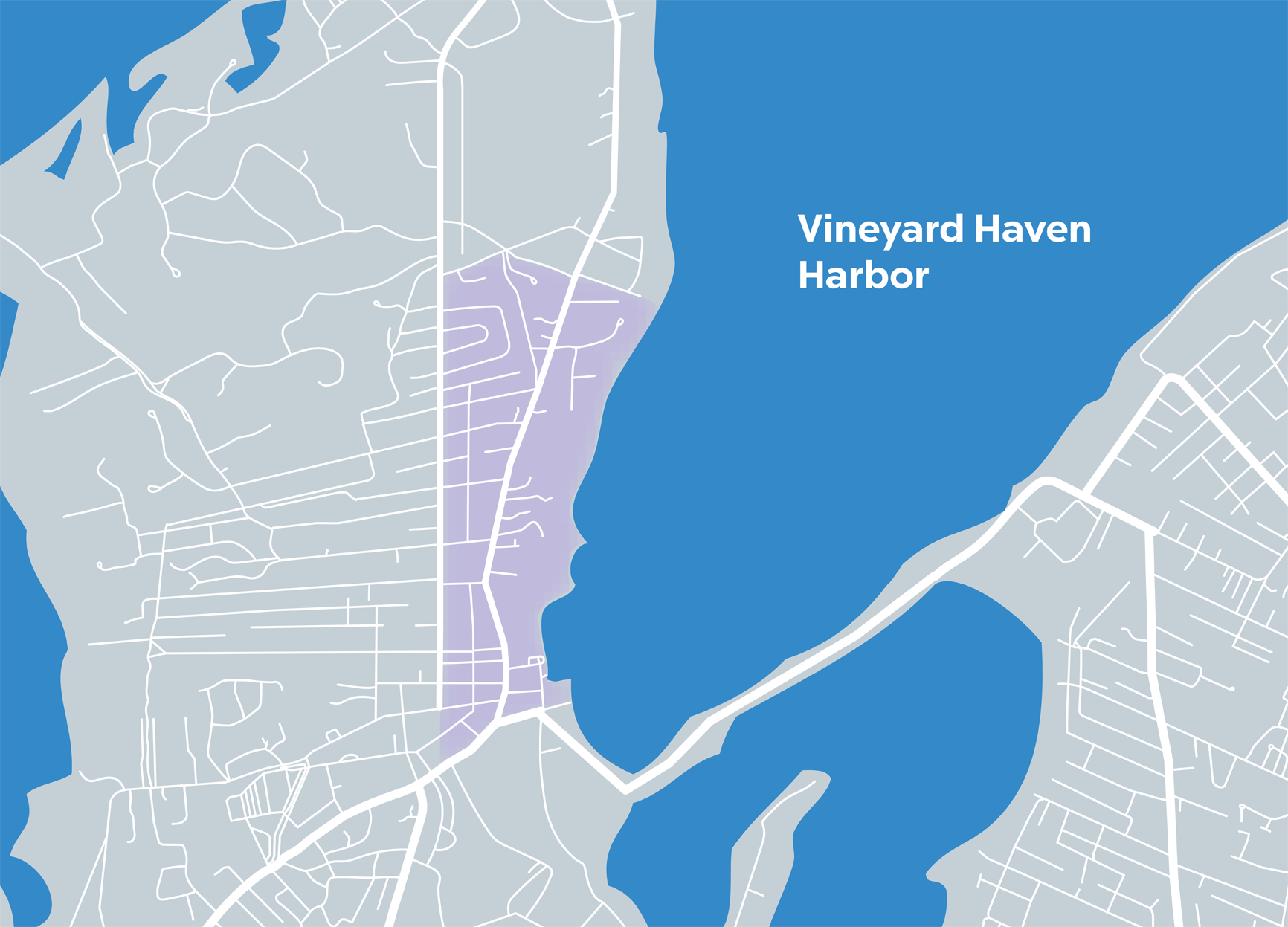
The Island’s only year-round ferry port, Vineyard Haven never closes up shop in the winter as other towns do. Tiny streets radiate from Main and Franklin, built with a mix of Federal, Greek Revival, and Cape Cod—style houses. The William Street historic district runs just off Main Street through the center of town.
Downtown/Historic District in the News
Main Street Vineyard Haven Redecorates
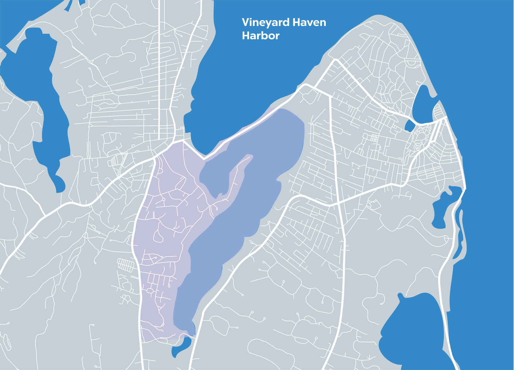
A large saltwater pond that extends into the town of Oak Bluffs, Lagoon Pond, on the Vineyard Haven side, is flanked by a commercial/industrial district along Vineyard Haven Harbor. On the landward side lies residential areas that include Hines Point, an old collection of summer and year-round homes fronting the pond; and Skiff Avenue, a pleasant neighborhood of mostly year-round homes.
...
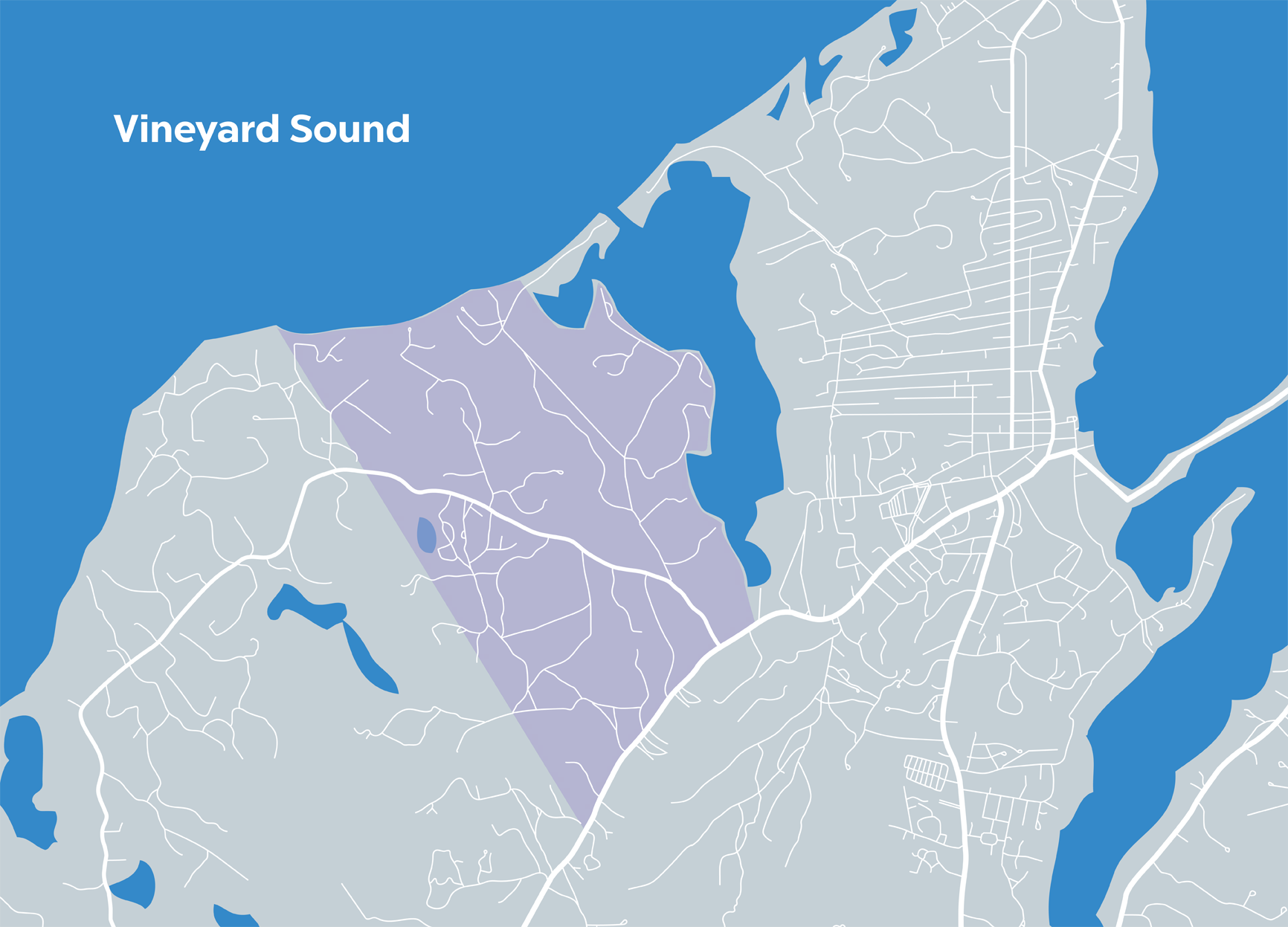
Situated in the hilly northwestern region of the Vineyard and spanning parts of Vineyard Haven and West Tisbury, Lambert’s Cove has a strikingly different topography from the rest of the Island. Lower Makonikey, Pilot Hill Farm, Tashmoo Farm, and the Vineyard Open Land Foundation’s cranberry bogs are among the natural landmarks.
Lambert's Cove in the News
Thinking Forward at Pilot Hill Farm
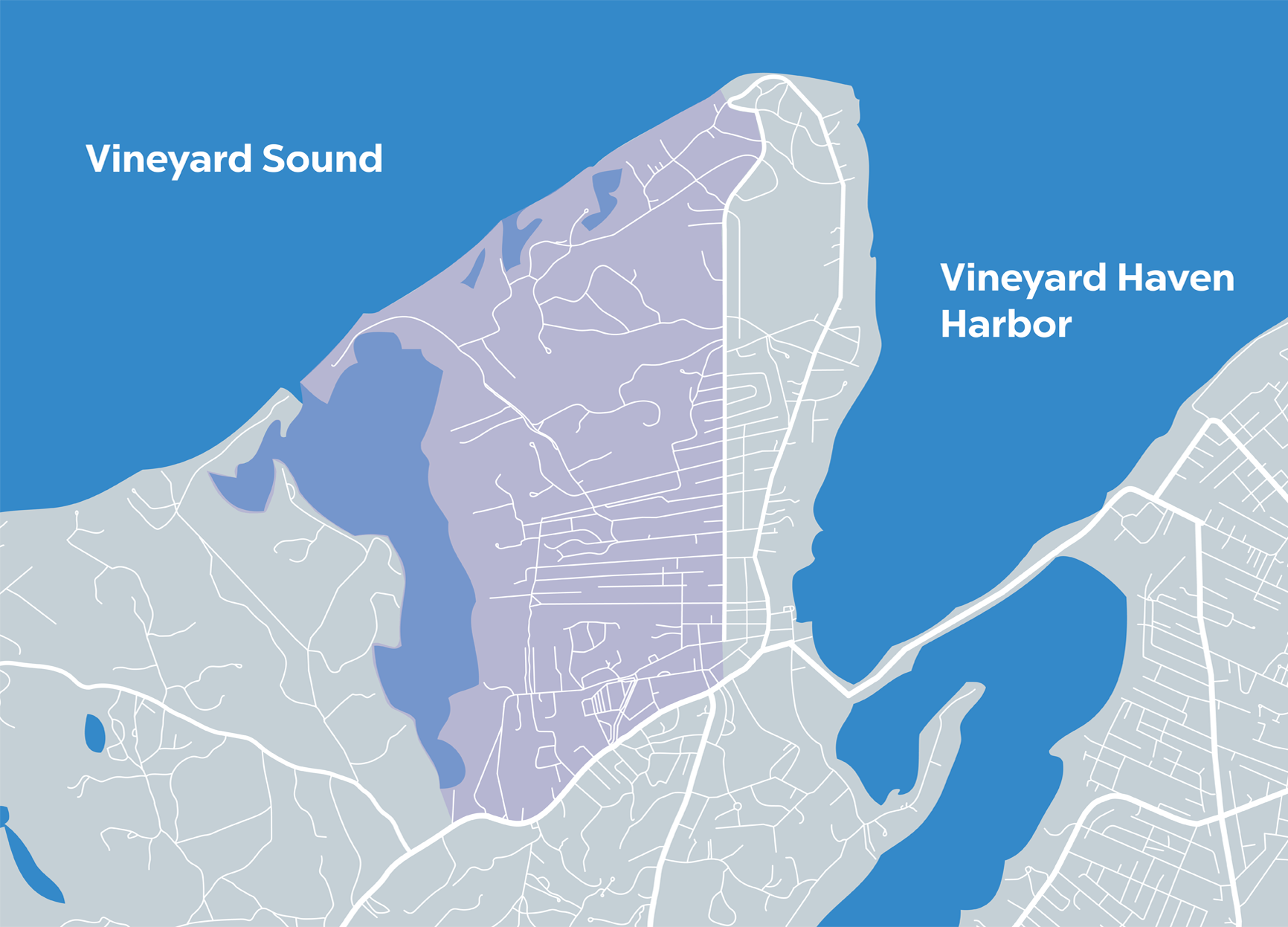
Lake Tashmoo is a hidden gem in the densely built town of Vineyard Haven. Synonymous with pine woods and quiet residential neighborhoods of every description, the Tashmoo area features both old camps and modest homes to large summer houses. There are public town landing areas around the lake for launching boats, canoes, and kayaks.
Tashmoo in the News
Citizens Organize to Save View From...

A tiny summer community that dates to the late nineteenth century, West Chop is primarily an area of large homes facing the sea on one side and is bordered by the downtown historic district. Mink Meadows Golf Club, a historic lighthouse, and a U.S. Coast Guard station are located here. West Chop Woods, a public conservation property, is enjoyed by walkers.
West Chop in the News
As MVC...
Originally part of Tisbury, it became its own town in 1892 when disgruntled farmers petitioned for the separation. Still a farm-oriented town, the town center includes Alley’s General Store, the Grange Hall, a historic town hall, and a Congregational church. Music Street, named in the 1800s, is the center of the town’s historic district.
Downtown/Historic District in the News
West Tisbury...
The West Tisbury end of Lambert’s Cove continues the theme from Vineyard Haven, becoming more rural and dotted with old farms and farmhouses. Seth’s Pond, a freshwater glacial pond, is situated at the upper end, along with Duarte’s Pond. Come springtime, hundreds of naturalized daffodils bloom along the roadsides.
Lambert's Cove in the News
West Tisbury Voters Ban Dogs at Lambert's Cove Beach

The commercial center of West Tisbury, North Tisbury includes up-Island’s only grocery store, a bank, post office, restaurant, and small shops intermixed with dirt roads and parcels of farmland where horses roam. Homes are set back from the commercial bustle. The bucolic north shore is marked by swaths of farmland and wooded, winding dirt roads with multiple-acre lots.
North Tisbury/North...
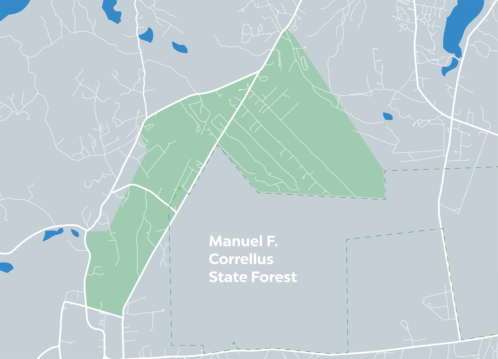
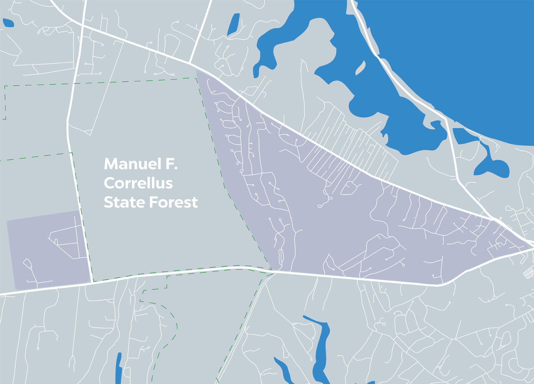
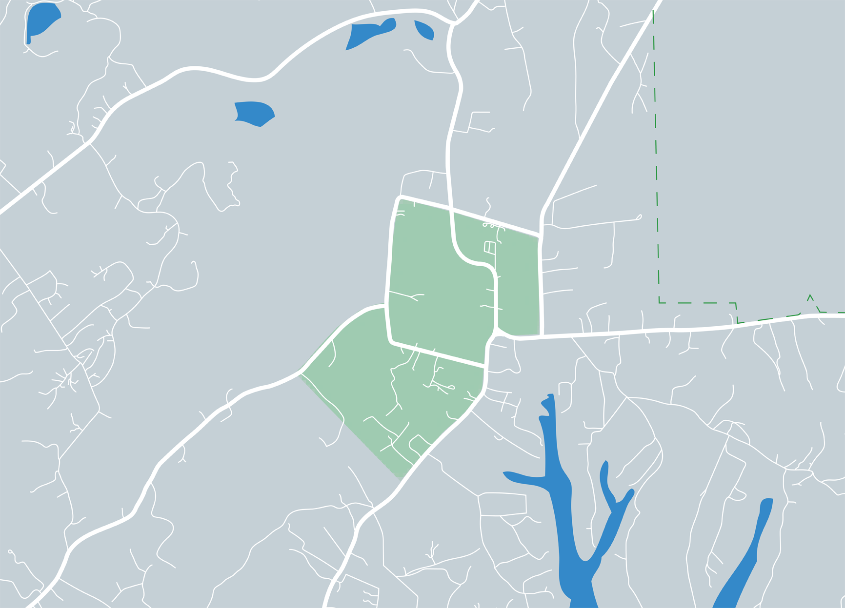
Running straight through the sandy flatlands of scrub oak and the state forest, this is West Tisbury’s main middle-class neighborhood, built in the 1980s when the town was a magnet for young families. Many of the subdivisions back up to the state forest. Whippoorwill Farm, the West Tisbury School, Nat’s Farm, and Scotchman’s Bridge Lane all lie off Old County Road.
Old County Road in the News...

Tisbury Great Pond, Sepiessa Point, and a vast area of sandplain forest stretching from Airport Road south to the Atlantic Ocean comprise the south shore of West Tisbury, where small horse farms and summer and year-round homes mingle with upscale subdivisions like Deep Bottom, developed about twenty-five years ago.
South Shore in the News
Record Price Sought for West Tisbury Property
Oysters...