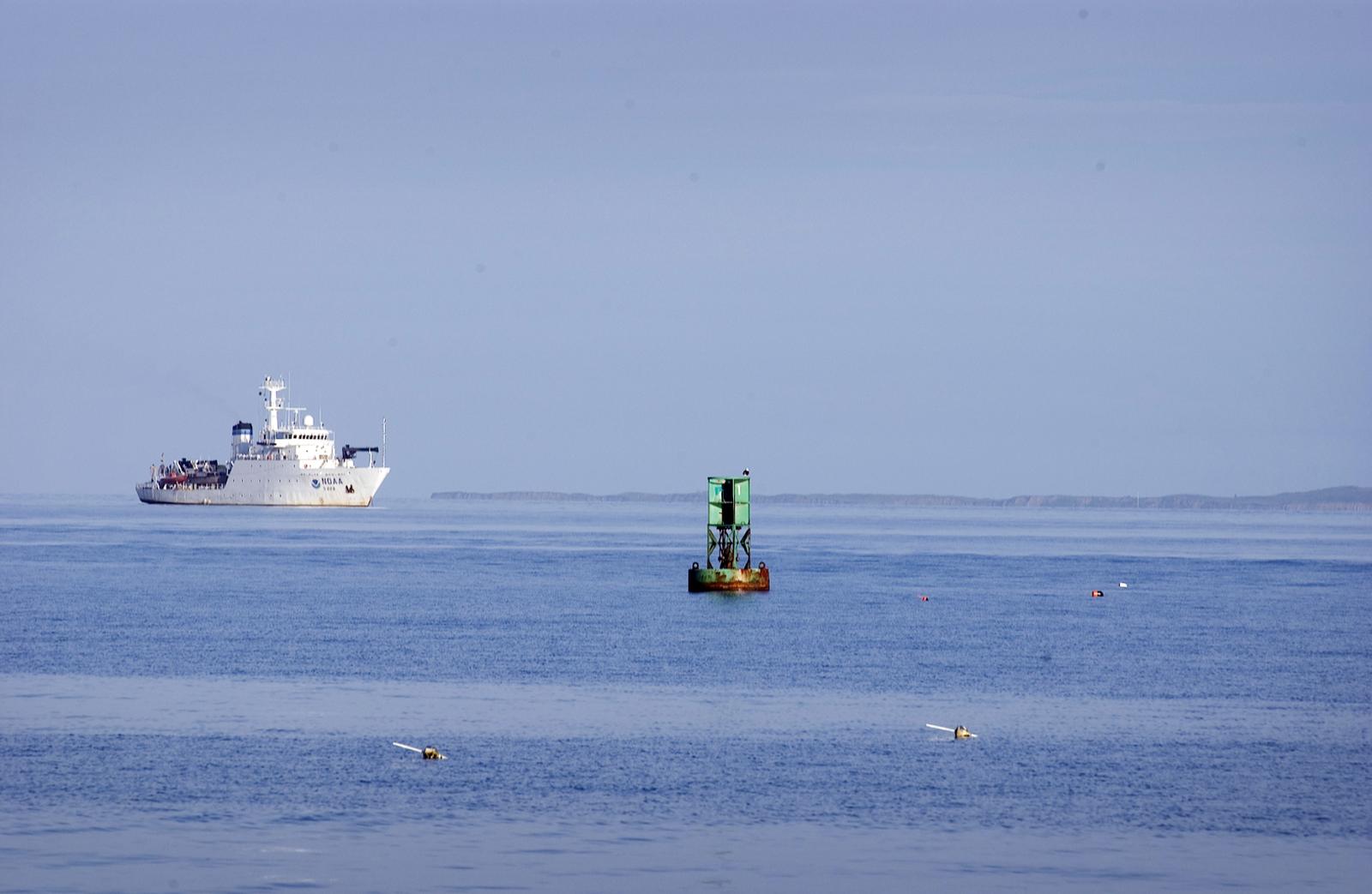
The 208-foot ship Thomas Jefferson is surveying the bottom of Vineyard Sound and surrounding waters as part of the National Oceanic Atmospheric Administration’s ongoing effort to document the oceans and inland waterways and update nautical charts.
The work is expected to finish this week.
Commander Tod Schattgen, speaking last week by telephone from the ship, five miles west of Aquinnah, said they’ve found no surprises. The survey work has uncovered uncharted shipwrecks, but the commander said they are finding that there is already local knowledge about the wrecks they are finding.
Unlike more southern waters and waters to the east, Vineyard Sound has a large share of clusters of boulders on the bottom, a possible hazard to bigger vessels, especially cruise ships.
In the summer of 1992, the 963-foot cruise ship Queen Elizabeth 2 ran aground in the waters just southwest of Cuttyhunk. While the ship had made a number of trips to Vineyard waters, it was just a bit off course when it hit a large boulder. Since that grounding, the ship has not come back and very few have navigated the Sound.
“It is one of the southernmost areas that has lots of rocks, boulders. Go farther south and you don’t get the large boulder fields. I think it has to do with the glaciers,” he said.
There is a significant difference, for instance, between the bottom of Nantucket Sound and Vineyard Sound, the Commander observed. Nantucket Sound has long stretches of sandy bottom.
“We are doing a survey using a multi-beam sonar. It covers the bottom completely, it is 100 per cent coverage. Ten years ago we used single beam technology which would not detect the rocks and boulders in the area,” he said.
In 2004, the same ship surveyed the regional waters with special attention towards Quick’s Hole which is a notorious passage, a short cut, between the two Elizabeth Islands Pasque and Nashawena. This summer’s survey work covers the waters heading southwest of that passage, along Nashawena, to Cuttyhunk and southwest in to the waters off Aquinnah.
The Commander said it is pretty clear from the surface that local lobstermen are already aware of the areas of structure. “The lobstermen put their traps wherever it is rocky,” he said.
The Commander said the work being done this summer is in cooperation with the local lobstermen so there is less chance of the ship encountering lobster gear. “This year we are running [the survey work during] daylight hours. We can’t see the lobster gear at night. Typically we run 24 hours a day,” the commander said.
The NOAA ship arrived in these waters on July 21 and the work is moving along smoothly.
Commander Schattgen said information gained from this survey will probably take about a half year to process before it is turned over to the chart makers. “Our goal is to get the data off the ship within 120 days. There is a quality control office which takes another 30 to 90 days to process,” he said.
Up until the Thomas Jefferson began doing its survey work, the nautical charts covering that region were based on old survey work, that preceded World War II, done before there was sonar. Water depths for charts were based on dropping a lead line. The work being done by the Thomas Jefferson will bring the charts up to date.
Prior to the building of the Cape Cod Canal, Vineyard Sound was one of the busiest navigable waters in New England. Ships going from New York to Boston would pass through the Sound.
Coincidentally, the Thomas Jefferson was built at the same Mississippi shipyard where the new Steamship Authority ferry Island Home was built.


Comments
Comment policy »