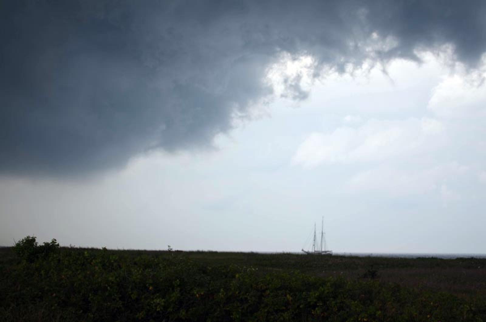
With much of the nation suffering from drought or drought-like conditions — it’s the hottest year on record so far, according to the National Weather Service — the Vineyard is going through its own oppressively hot and dry season. But this still may be one of the most comfortable places to be on the East Coast this summer.
Rainfall, which was above normal last year, has slipped well below normal so far this year.
Temperatures are unseasonably hot, though the highs abated yesterday.
The thermometer touched 90 degrees or warmer three times in July. The Dog Days of July are alive and well here. The temperature reached 95 degrees twice in June. Usually, the Vineyard experiences 90 degrees or above once a year and not necessarily every year.
Rainfall is far more precious this year than for the last two years. Today, 20 days into the month, the Vineyard has received only .36 inches of precipitation for July. The average for this month is 2.30 inches.
Total rainfall for the year is 18.91 inches, below the 23 inches that would be considered average by the end of June, and well below the 25.65 inch average for the end of July, according to the National Weather Service Cooperative Station in Edgartown.
The Vineyard is not in a long-term stretch of dry weather like other parts of the country. Precipitation totals for 2011 (48.14 inches) and 2010 (56.18 inches) were above the 45.82 inch average.
“So far this is the warmest year on record,” said Ben Sipprell, a meteorologist for the National Weather Service, looking at global data. But, Mr. Sipprell, adds a cautionary note about that figure. New England did pretty well in June, compared to other places. “June was anomalously warm but, amazingly, New England has been spared in a lot of places. New England posted a normal monthly average temperature.”
For the Vineyard, the average temperature for the month of June was three degrees above the average of 63, driven up by a stretch of eight days of temperatures higher than 80.
Mr. Sipprell said New England has done better than other parts of the country, because the jet stream has brought down cooler air, mitigating what might otherwise be far higher temperatures. “But keep in mind the hottest days of summer are in July and August,” he said.
There is far more attention and interest in the water temperature of the equatorial eastern side of the Pacific. “There will be El Niño going on from July into September,” Mr. Sipprell said. “That means the activity of hurricanes is diminished in the North Atlantic. There will be storms, but the propensity will be less.”
Mr. Sipprell said that this weekend’s weather will continue to offer a reprieve from the hot weather a few days ago. “There is a period of disturbed weather headed this way early in the week,” he said, and that could mean some welcome rain. Otherwise, fair and not so hot weather is expected to follow.


Comments
Comment policy »