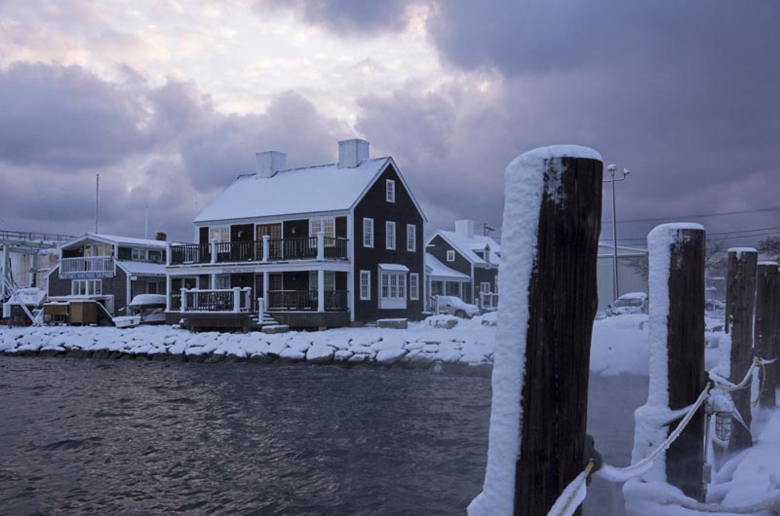
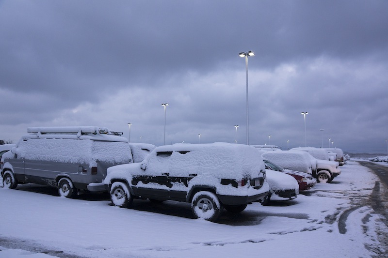
Martha’s Vineyard officials are bracing for a weekend blizzard that could bring 18 to 24 inches of snow, hurricane-force winds and coastal flooding to the Island.
The storm, predicted to arrive Friday morning and last through Saturday afternoon, has prompted early release from school, travel restrictions and parking bans, and is expected to result in widespread cancellations. Gov. Deval Patrick is expected to declare a state of emergency sometime on Friday, Chris Cini, chairman of the Martha’s Vineyard emergency management group, said.
Martha’s Vineyard Regional High School will be dismissed at 11 a.m. Friday, Vineyard schools superintendent Dr. James H. Weiss announced Thursday afternoon. Elementary schools will be dismissed at noon. All Friday and Saturday activities are also canceled, Mr. Weiss said.
Steamship Authority general manager Wayne Lamson said ferry service is expected to be impacted beginning Friday afternoon.
The latest forecast calls for high winds to continue through Saturday. Mr. Lamson said “there is a chance there may not be ferry service on Saturday” and “maybe into early Sunday.”
Travel between the Vineyard and Woods Hole will be on a trip-by-trip basis. Ferry service will be updated on the Steamship Authority website at steamshipauthority.com.
Peter Pan bus service north of New York city will be suspended beginning Friday morning, including the Woods Hole to Boston route.
Cape Air is expected to preemptively cancel flights on and off the Vineyard beginning Friday, Martha’s Vineyard Airport manager Sean Flynn said.
The Aquinnah, Edgartown, West Tisbury and Tisbury town halls have also announced that they will close at noon on Friday. Libraries in Aquinnah and Edgartown have also announced that they will likely close early Friday and remain closed on Saturday.
Emergency managers from all six towns convened Thursday morning for a conference call with the Massachusetts Emergency Management Agency and the National Weather Service. West Tisbury emergency management director John Christensen said authorities are planning for an “all-state event.”
The Tisbury School will serve as a regional shelter beginning at noon on Friday. The Red Cross will staff the shelter and the Salvation Army will provide food and canteen service.
A travel advisory will be in effect from Friday at 3 p.m. to Saturday at 3 p.m.; residents are advised to avoid travel during that time.
Blizzard and white out conditions with zero visibility may occur. Mr. Christensen said snow is expected to last through noon or later on Saturday.
“What we’re worried about is Friday night. If someone suddenly decides they need to go to the shelter, they could end up stuck in their car and we can’t get to them,” Mr. Christensen said. “The good thing about this storm is most of this will happen at night, so we can get to people during the next day if we need to help them.”
With the wet snow, power outages are expected, Mr. Christensen said. NStar is sending three to four extra trucks with crews to the Island, said Oak Bluffs emergency manager Peter Martell. Customers are advised to report the outages to NStar at 1-800-592-2000.
Mr. Cini, who also serves as Tisbury emergency management director, said the town is issuing a parking ban from 8 p.m. until noon on Saturday to allow for snowplows and contractors to clear the streets.
Rain is expected intermittently, Mr. Cini said. If the rain holds off, total snow accumulation is expected to be higher. The bulk of the storm is expected Friday night with one to two inches of snowfall hourly.
“It could easily go more or less,” Mr. Cini said. “But the models are lining up toward heavier snowfall than less.”
The National Weather Service also has issued a coastal flood watch for east-facing coastlines.
“Large waves combined with a two to three foot storm surge may cause a number of vulnerable shore roads to become impassable for a while and possibly even put homes along the immediate shoreline at risk for damage during the Saturday morning high tide,” the advisory says.
The coastal flood watch estimates that the highest tide in Vineyard Haven will take place Friday evening at 10 p.m., when the high tide and the storm surge together raise the water level five feet. It is a combination of the astronomical high tide of 2.3 feet, together with a storm surge of 2.8 feet.
The storm is the result of two distinctly different storms coming together. One is moving along the Southeastern United States, heading out to sea. The second storm is coming across the central plains.


Comments
Comment policy »