
The Martha’s Vineyard Commission has unanimously approved two projects designed to adapt to an eroding shoreline at Squibnocket Beach.
Both projects were reviewed as developments of regional impact (DRIs), beginning in March.
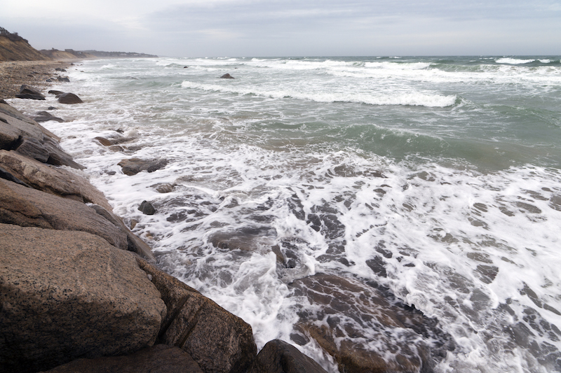
One would feature a raised causeway to the homes at Squibnocket Farm. The other would relocate a town parking lot farther inland from the ocean, which now laps against a stone revetment containing the current parking lot and access road. The stone revetment would also be removed, and become part of a retaining wall along the south side of the parking lot.
Each project was approved with a condition that the applicant submit a final landscaping plan. The causeway portion of the project, which is funded by the Squibnocket Farm Homeowners Association, must also conform to a town regulation that would limit the height of a proposed timber railing. Commissioners were unsure what the maximum height would be, but thought it was 36 inches.
As part of the project, the homeowner association has agreed to buy a five-acre stretch of beach from Vineyard Open Land Foundation and lease it to the town. Commissioners agreed Thursday that an approval-not-required permit from the Chilmark planning board to subdivide the land would not need MVC approval.
In weighing benefits and detriments at their meeting Thursday, commissioners agreed that both projects were appropriate in view of the alternatives, and would improve public safety.
“If it’s not essential, it’s at least appropriate,” said Joan Malkin, Chilmark’s representative on the commission. She noted that porous materials in the new parking lot would help control runoff and that the design of the new causeway “would manage runoff way more successfully than the existing roadway that doesn’t manage it at all.”
A proposed dune that could help buffer the area from storms also drew praise from commissioners.
Commissioners agreed that a proposed turnaround would be safer for cars and busses, and that the new access road would improve safety at Squibnocket Farm by allowing emergency vehicle access. They acknowledged that both projects would be visible to abutters, but that landscaping could help soften the impact.
Letters from residents focused largely on the proposed causeway, which would stand about 13 feet above sea level and cross an area of wetlands. Several residents have advocated for less permanent alternatives, such as a road at grade that could migrate north with the beach. Others have noted the lengthy public review so far at the town level, and have supported the project as an example of managed shoreline retreat.
No abutters attended the meeting on Thursday, although many had voiced their concerns at the preliminary hearing.
Commissioners generally agreed that the causeway would not benefit the scenic values, character or identity of the area, which are among the criteria in the review process.
Linda Sibley acknowledged concerns about the height of the causeway, but didn’t think a lower deck would make much of a difference. “I think what matters is that where there was nothing but natural stuff, there is going to be a manmade thing,” she said. “I don’t think a few feet one way or another is going to really affect the way it looks from up the hill.” She noted that as the shoreline retreats, the causeway will loom larger over the beach, but she didn’t think that was necessarily a problem. “I’ve stood under boardwalks and loved it,” Mrs. Sibley said.
Christina Brown thought the causeway would have a neutral effect on the character and identity of the area. “It’s not something that we would be encouraging, we would put in when it wasn’t necessary,” she said.
Some commissioners saw the projects as a sign of things to come as sea levels rise. Kathy Newman supported the association plan, but wished it hadn’t been necessary. “It’s really a heads-up to us,” she said. “We have not done a good job along the way here, even though we know about the sea rising, to really think about the impact that the environment is going to have on us.”
Leonard Jason Jr. said that all of Aquinnah had been cut off from the Island when the Hurricane of 1938 wiped out Hariph’s Creek Bridge. “You’ve got to really look at just how serious this is,” he said.
Both projects will head back to the Chilmark conservation commission, which referred them to the MVC in January and will decide whether to grant the final permits. A meeting is tentatively scheduled for Wednesday, May 18.


Comments
Comment policy »