
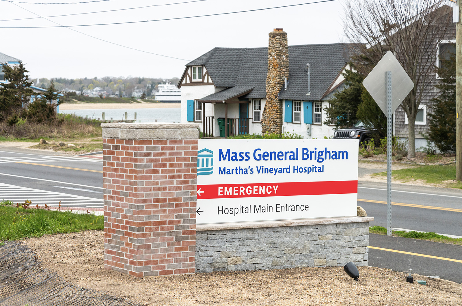
As Oak Bluffs weighs the potential impacts of the climate crisis in the coming decades, a high priority is maintaining access to the hospital, which is located on the coast in an already active flood zone.
In October, the town received a grant of nearly $170,000 to fund an initial risk assessment. The town collaborated on the study with environmental engineering firms Fuss & O’Neill and Woods Hole Group, MassDOT, the Martha’s Vineyard Commission and the Massachusetts Office of Coastal Zone Management.
On Saturday the initial findings were presented at town hall.
Project Manager Eileen Gunn, who serves as business line manager for Fuss & O’Neill, presented the report with support from assistant town manager Wendy Brough, a member of the project’s advisory committee.
“It’s an Island issue, because all towns are affected by access to the hospital,” Ms. Brough said.
The climate scientists used models to project the vulnerability of roadways to rising tides and storms by 2030, 2050 and 2070. They found that by 2030 many crucial inroads to the hospital will be unpassable for ambulances during coastal flooding events, leading to what EMS personnel consider life-threatening escalations in response times.
Ms. Gunn stressed that the situation is projected to worsen and expand in the decades to follow.
The study recommends focusing on four priority areas: the Oak Bluffs side of Beach Road, Barnes Road, Eastville avenue and County Road. The Vineyard Haven side of Beach Road and Five Corners are also considered vulnerable critical entry routes, but are being addressed in other resilience efforts.
In addition to having geographical and topographical qualities that make these roads particularly susceptible to flooding, they were flagged by EMS personnel as being vital to hospital access.
The proposed solutions fall into two broad categories: nature-based solutions and road adaptations. Nature-based solutions include dune enhancement along Beach Road, landscape berms in critical areas further inland, and installing devices to dull and scatter waves along the coast.
Specifics of road adaptation plans vary among the different cases addressed, but common solutions include raising roads and shifting their alignment onto undeveloped land. The plan also suggests acquiring properties along certain streets to raise roads and add berms.
According to Joe Famely, a senior environmental scientist at the Woods Hole Group, nature-based solutions alone will not be enough to produce the desired protection and will need to be paired with road adaptation measures.
“In order to reduce flooding in a meaningful way for a lot of these roads that were identified as priorities, we were pretty limited to road elevation projects,” Mr. Famely said. “We tried to pair those projects with some nature-based side slope treatments... rather than hard engineering.”
Ms. Gunn and audience participants discussed limitations to this proposal, including its impact on above-ground utilities and the new bike path on Eastville avenue and County Road. Ms. Gunn also pointed out concerns about the plan’s compatibility with private driveways given restrictions on driveway inclines.
Different approaches vary in cost but largely hover between $3 million and $8 million each. Liz Durkee, who serves as climate change coordinator for the Martha’s Vineyard Commission and was consulted on the study, said that high sticker prices can be circumvented using federal and state funding.
“Every alternative to climate adaptation is going to be expensive,” Ms. Durkee said. “There’s a lot of funding out there for climate-related issues right now. It’s a matter of linking the project that you have with the right funding source.”
Saturday’s presentation was the first step in what will be a lengthy planning process.
“Right now, we’re just gathering the data,” Ms. Gunn said. “I think the town will very much be informed by this cost estimate.”
The data will be presented to the Oak Bluffs select board on June 11.


Comments
Comment policy »