It’s not an if, it’s a when.
The last major hurricane to hit Martha’s Vineyard was Hurricane Bob, which made landfall as a Category 2 storm in 1991. It severed power to the Island for days into weeks, destroyed hundreds of boats, homes and powerlines, and even swept houses on the Island’s south shore off their foundations.
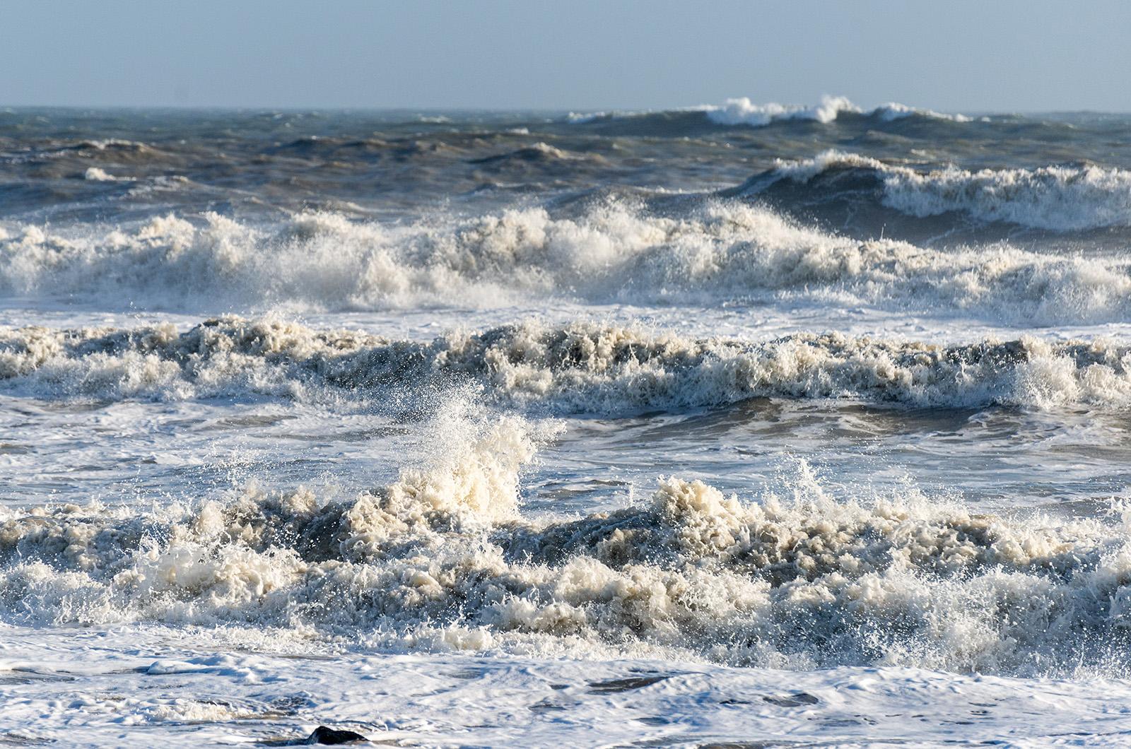
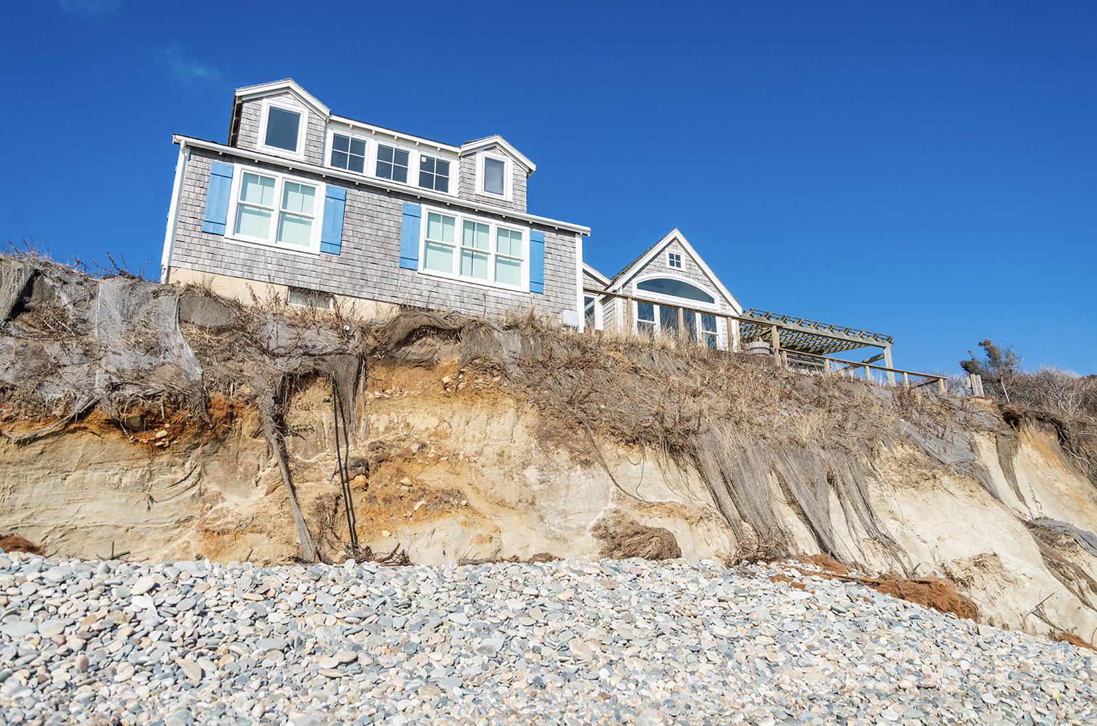
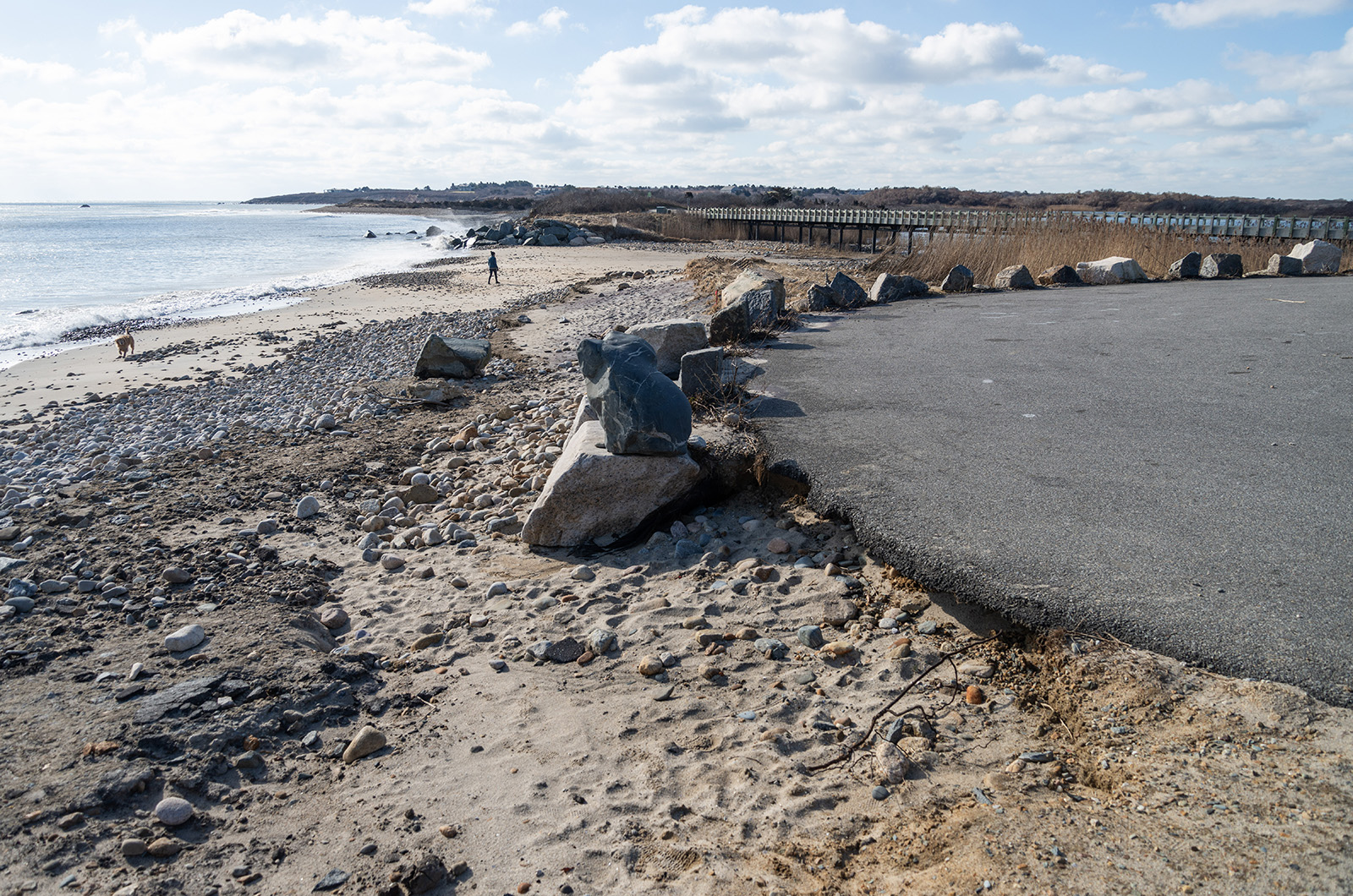
The hurricane of ’38 destroyed the fishing village of Menemsha and permanently reshaped many of the Island’s harbors. Just this winter, southerly storms relocated hundreds of tons of sand off south-facing beaches onto nearby roads, sending towns scrambling to repair their waterfronts in time for the summer season.
Experts predict that with ocean temperatures at record highs and the global climate shifting into a hazardous La Niña pattern this year, the result could be one of the worst hurricane seasons on record.
Across the Island, towns, business and essential services are gearing up for the possibility of a major storm.
Edgartown town administrator James Hagerty, who also serves as an emergency preparedness officer with the Marine Corps Reserves, said that a major hurricane is “the single greatest threat” to the town of Edgartown and to the Island.
In the short term, a hurricane arriving early in the storm season — striking, like Bob did, in the late summer — could strand hundreds of visitors on the Island. They would need shelter and emergency supplies and, like others across the Island, would likely be without power.
In the long term, damage to the Island’s beaches and its underinsured waterfront properties could drive away visitors, depress property values and
risk sending Island towns into a downward economic spiral.
“Bob was ’91. It’s usually like a once in 30-, 40-year risk,” Mr. Hagerty said.
That means the time for another storm may be on the horizon.
Peter Neilley, head of science and forecasting at the Weather Channel and Weather Underground’s parent company, has his eye on the incoming hurricane season from his year-round residence in Chilmark.
This year, warm waters along the equator and up the New England coast are a warning sign, Mr. Neilley said. High sea surface temperatures encourage storms to form and strengthen existing storms.

“Not only are the storms that form in the tropics going to be stronger because of the warm waters down there, they will also persist at that strength as they move towards New England,” Mr. Neilley said.
According to officials at Colorado State University, which runs one of the leading climate and severe weather research laboratories, this year will see a nearly 75 per cent increase in the number of expected tropical storms relative to a 30-year average spanning 1991–2000.
During that period, each year saw approximately 14.4 named storms. This year, Colorado State predicts 25 named storms, with 12 of them hurricanes. What that translates to is potentially an active hurricane in the Atlantic Basin for an estimated 50 days this year.
Last year, warm waters led to one of the most active hurricane seasons on record, but strong jet stream winds kept the storms out over the Atlantic, Mr. Neilley said. This year, the onset of a La Niña climate pattern will slow those winds, and the eastern seaboard will be more vulnerable.
La Niña and its counterpart El Niño are climate patterns that onset when wind currents shift in the Pacific Ocean. The effects stretch across the globe, impacting the strength and direction of Atlantic winds.
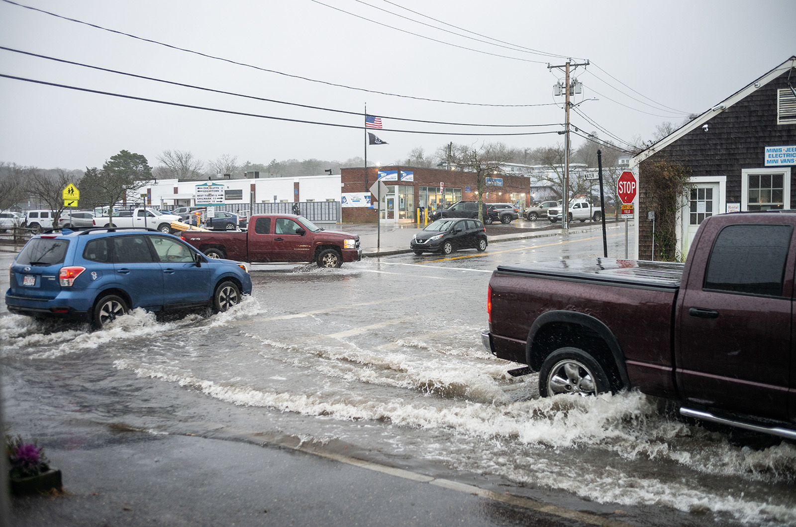
The risks of a major storm vary from town to town across the Island. On the low-lying eastern shore, storm surge and heavy rainfall can inundate key roads — such as Dock street and Beach Road — and cripple the pumps that transfer sewage out of downtown Edgartown.
“The main concern for me is always sanitation,” said Will Coogan, co-owner and manager of The Wharf on Dock street in Edgartown.
Nearly all of Dock street’s businesses depend on a system of pumps to carry sewage uphill. If the water level climbs too high, those pumps cease to function, sending sewage up into basements and bathrooms.
Over the past decade, Edgartown has used a state grant for climate preparedness to improve town properties that are particularly vulnerable to flooding and major storms. Two years ago, the town raised Memorial Wharf a foot and a half, and boosted the height of the on-ramp to the nearby Chappy Ferry.
A multi-million-dollar feasibility study for major renovations to the Chappy Ferry slip and neighboring Dock street are in their final stages, Mr. Hagerty said.
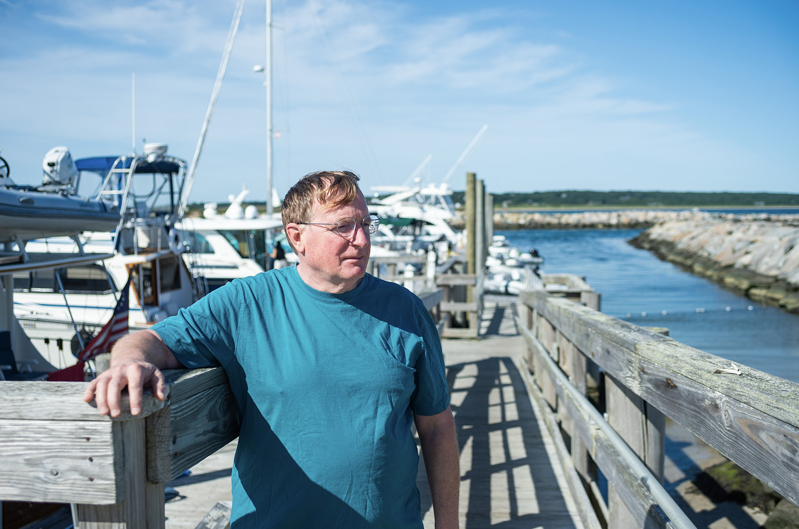
Flooding on Dock street can also prevent emergency vehicles from reaching the ferry, explained ferry owner and operator Peter Wells. Mr. Wells will run the ferry in severe storm conditions if an emergency on Chappaquiddick demands it, but the ferry does little good if it’s unreachable by vehicle.
In Vineyard Haven as in Edgartown, the risk of a major storm revolves around flooding.
Teresa Kruszewski opened 51 Art Gallery, a gallery and framing shop, on the Beach street Extension in December 2016, just a few hundred yards from the water. Heavy rainfall and storm tides regularly shut down the nearby Five Corners intersection, so she keeps sandbags at the ready.
“I take extra precautions. There’s nothing on the floor, everything is encased in plastic of some type, so just in case,” she said.
In February, Ms. Kruszewski reached out to the town about the Five Corners intersection not draining properly, as water reached her business door after a major rainfall.
It was alarming, she said.
“I’m not a houseboat, but it felt like it,” she said.
Flooding at Five Corners can also cut off emergency access to the Steamship Authority terminal and Beach Road, which leads to the state police headquarters and the Martha’s Vineyard Hospital.
Kirk Metell, director of public works for the town of Tisbury, said that any strong rain — never mind a hurricane — can force the town to close Five Corners and redirect traffic.
“It’s upwards of probably 30 to 35 times a year that it gets plugged, it gets flooded,” Mr. Metell said.
In a “fast-moving storm” that carries surging tides, that flood could arrive in minutes, Mr. Metell said. Five Corners drains to the harbors, although the sand carried by a high tide often clogs the outfall pipes and prevents proper drainage, leading to floods that set on quickly and last for hours, Mr. Metell said.
The Massachusetts Department of Transportation has been at work on a permanent overhaul of the drainage system at Five Corners for years. As that project grinds slowly forward, the town of Tisbury has partnered with engineers at the University of New Hampshire to install new outfall pipes that should minimize clogging in the short term.
“We can’t wait five to seven years to get something up and running [from DOT],” Mr. Metell said. “We need to put at least some temporary measures in now.”
Across from Vineyard Haven, along the vulnerable and flood-prone Beach Road, Oak Bluffs hosts many of the Island’s essential emergency services, including the Martha’s Vineyard Hospital and the Island’s designated storm shelter: the Oak Bluffs elementary school.
If a storm is coming, the hospital prepares for the worst. It begins monitoring major storms 10 days in advance of expected landfall, moving particularly vulnerable patients off-Island by ferry and airlift as the risk warning increases.
“There really is no option to get folks off-Island [during a storm],” hospital chief administration officer Mike Cosgrave said. “Patients who are particularly vulnerable, we can move them onto mainland hospitals, but we have to do this ahead of time.”
Mr. Cosgrave said the hospital budgets for such an emergency, stocking food, water and oxygen. The hospital also maintains a generator that can last about 96 hours and the building was constructed to withstand extreme weather conditions.
Rebuilt in the late 2000s, the hospital is designed against hurricane force winds, with elevation meant to withstand sea level rise and flooding during a hurricane.
“We never look at closing the new hospital, but have contingency portions for the sections that aren’t hurricane rated — the outpatient office, and infusion and dialysis centers,” Mr. Cosgrave said. “The hospital has created a redundancy within the main building so those services are able to continue during a storm.”
Even still, the hospital and the town have been looking at overhauling other pinch points, including the low-lying Beach Road, which can become flooded and cut off the access to the medical facility.
Town emergency managers from across the Island spent this spring preparing Oak Bluffs elementary school to serve as the Island’s new regional shelter, Tisbury fire chief and emergency manager Patrick Rolston said.
That included making sure enough food, water and medical supplies were on hand to last roughly 36 hours, and making sure the building was free of mold.
In addition to the regional shelter, Edgartown and Aquinnah also have sheltering capabilities if necessary, Oak Bluff fire chief Nelson Wirtz said. Aquinnah’s location is at the tribal community center in Aquinnah. In Edgartown, both the Chappaquiddick Community Center and the Edgartown School are designated storm shelters.
The Island shelters can’t hold the entire Island population, though, said Edgartown fire chief and town emergency planner Alex Schaeffer.
They are designed to shelter visitors and Islanders in high risk areas, such as those along the shoreline or for anyone without a permanent home. For the rest of the Island, the default storm protocol is shelter-in-place, Chief Schaeffer said.
“It’s really important for us to have the shelter available for areas that need evacuation in the event that there’s storm inundation,” Chief Schaeffer said. “So we look to the public to have themselves set up for a shelter in place scenario.”
Martina Thornton, emergency planner for Dukes County, said that all Island residents should keep three days’ worth of emergency supplies on hand in case a shelter in place protocol were to go into effect. Important supplies include food, bottled water and batteries in case of a power outage, she said.
Power outages are a major concern during any extreme storm.
“We could easily have winds exceeding 100 miles an hour, which will bring down a large, large number of trees across the Island,” Mr. Neilley said. “A majority of the Island would be without power again for probably weeks on end, and could very well have substantial damage to some of our transportation infrastructure.”
After Hurricane Bob, it took 10 days for Island downtowns to regain power, and longer for outlying homes.
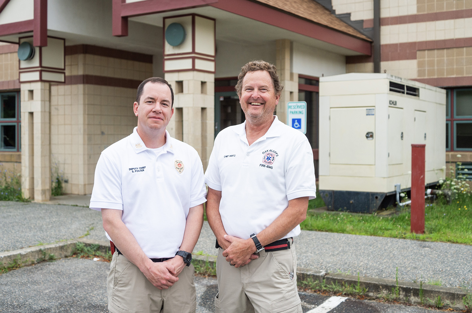
One of the most substantive changes that has occurred recently in terms of emergency preparedness is updating the Island’s notification system, Chief Wirtz said.
The CivicPlus software platform — implemented at the beginning of July to replace the previous CodeRed emergency notification system — gives local officials a better channel to communicate with residents depending on the need, he said.
“One of our desires is we’re really trying to take a more regional approach to emergency management than has been done in the past,” he said. “It makes it much more efficient and better for everybody.”
Residents can sign up for the CivicPlus program on town websites, the Dukes County website, as well as the Dukes County emergency management site.
This winter, the Island faced a recent reminder of what southerly storms could do after a trio of gales battered the south shore. The cumulative effect was an eye opener in terms of the Island’s fragile landscape, and the costs to maintain it.
The storms’ heavy winds and storm tides stripped the Island’s most popular beaches of their sand, leaving only rocks and seaweed behind. Restoring the beaches and nearby roads became an immediate challenge for town planners, James Hagerty said.
“[The beaches] are a huge economic driver for the town. People come to Edgartown to go to the beaches. And if there’s really no public beaches... the whole Island and Edgartown, we’re in trouble,” Mr. Hagerty said.
Chilmark beach superintendent Martina Mastromonaco said that another storm could lead to “change overnight” along the beaches.
“The beaches are eroding at a very alarming rate,” she told the Gazette earlier this year. “It’s more than I’ve seen in the time I’ve worked here. It’s sad but we live on an Island and we have to get used to it.”
Although the storms that struck the south shore this winter offered a taste of what a major storm would bring, the Vineyard has been blessed of late. Over the past three decades, large summertime storms headed towards the Vineyard have fizzled out or changed course before striking the Island, Chief Schaeffer said.
“I think we’ve been lucky in terms of some things headed directly for us that have turned off at the last minute. We’ve all been able to take a big exhale as things have stepped off,” Mr. Schaeffer said. “We’re a coastal community where the risk is always high for some sort of environmental impact.”
Peter Wells, from his perch running the Chappy Ferry, echoed Chief Schaeffer’s thoughts.
“I think we’re a little bit placated by the fact that, oh yeah, we’ve been through hurricanes,’” Mr. Wells said. “But we haven’t been through strong hurricanes.”





Comments (9)
Comments
Comment policy »