Adam Moore was lost. Well, just a little lost. Back in 2015 he and Alan Rappaport were hiking along Old King’s Highway in Chilmark and became disoriented while looking for a side trail. After some head scratching and trial and error, the two got back on track. While walking out, Mr. Rappaport had an idea.
“I remember Alan saying, wouldn’t it be great if there was an app for this situation that showed you where you are?” Mr. Moore, executive director of the Sheriff’s Meadow Foundation, recalled in an interview with the Gazette last week.
Just a few years later, that idea has become reality. A free smartphone app called TrailsMV that maps the Island’s 200 miles of trails will be available for download on June 2, just in time for long summer hikes. No Wifi or cell service is needed to run the app, just an iPhone (an Android version will arrive later this summer) with location services turned on.
Sheriff’s Meadow started the app project in the fall of 2017 with the help of project manager Kate Warner and Martha’s Vineyard Commission GIS coordinator Christine Seidel. A software developer in San Francisco covered the technical aspects while Ms. Warner and Ms. Seidel spent months documenting each trail along the Island’s 110 properties that are open to the public.
“I’ve learned about all sorts of properties I didn’t know existed,” Ms. Warner said.
She said funding for the app came from numerous donations and a few grants. Mr. Moore added that donors were receptive to the idea because it involved collaboration among different Island conservation groups and also for the utility factor.
Currently, the most complete trail maps of the Island are the Martha’s Vineyard Land Bank map and the Vineyard Conservation Society’s pocket-sized walking trail booklets. While useful and updated often, the hard copy guides have their limitations.
“The thing the app can do that these can’t is help you find the trail,” Ms. Warner said. “It also makes it easier to do longer hikes because you know where you are and can move from one property to the next.”
Once the app is tapped, a “Loading Your Next Adventure” message greets users before a map of the Island appears pinpointing every trail. Each point loads a new page that shows a map and gives an overview of the trail, including points of interest and whether the trail is dog-friendly. An “Outings” feature allows hikers/bikers to traverse curated trail combinations. There are also pages devoted to each Island town that encourage users to explore new paths through familiar areas.
“It helps people explore the Island with confidence and might bring them to places they may not have gone to otherwise,” said Mr. Moore.
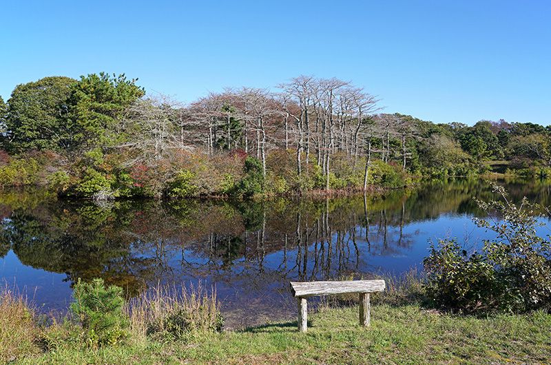
The app isn’t just maps and information, though. Mr. Moore and Ms. Warner enlisted the help of 22 volunteer photographers, ranging from professionals to high school students, to showcase the beauty of Island trails in the app. An exhibit of their work titled Explore the Vineyard: 22 Island Photographers Introduce Island MV, opens at the Featherstone Center for the Arts on June 2, starting at 5 p.m. The event will mark the official launch of the app. June 2 is also National Trails Day and the day of the land bank’s annual cross-Island hike.

“There are really beautiful properties all over the Island,” said Ms. Warner. “We have such an incredible variety.”
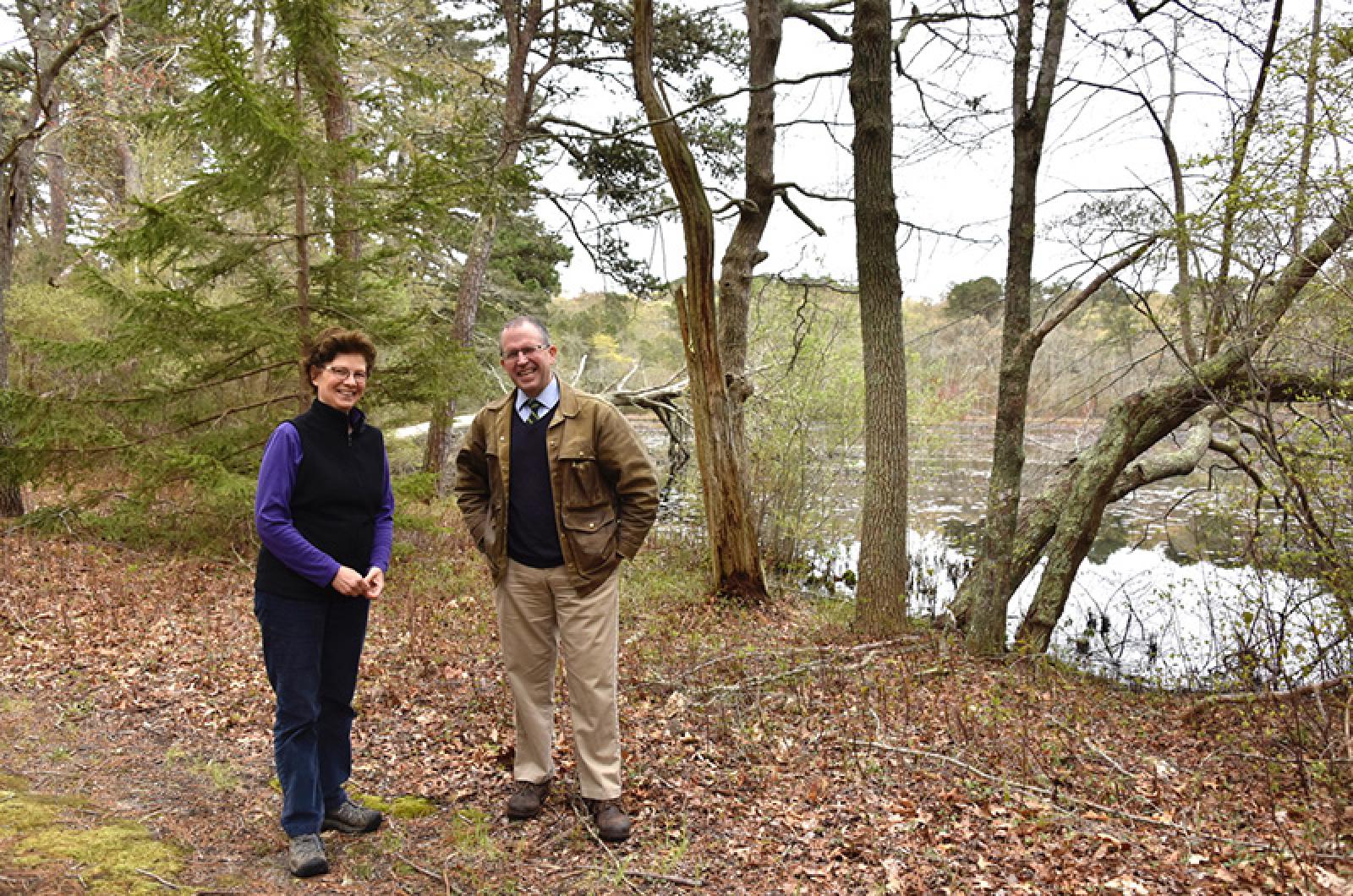
On a cloudy, warm morning on Tuesday this week, Ms. Warner and Ms. Seidel walked along the marsh trail at Felix Neck Wildlife Sanctuary to test the app. Ms. Warner held her iPhone out with the TrailsMV app pulled up, while Ms. Seidel flipped through a Walking Trails book.
“Should we go down this road?” said Ms. Warner as she scanned the app map.
“Don’t make me rely on this paper map,” replied Ms. Seidel.
Ms. Warner selected the marsh trail at the Felix Neck trailhead and it highlighted red. She chose it because the app showed a few black dots sprinkled along the trail, indicating points of interest, such as the waterfowl observation building. After a short walk through a low forest of oak and cedar trees, the two gazed out at Sengekontacket Pond.
Ms. Warner pulled out the app again and showed that hikers can take the Boulevard to the nearby Caroline Tuthill Preserve (a Sheriff’s Meadow property) if they want to continue their journey. It is just one of the many examples of connections users can make between different properties by using the app, she explained. She then told a story of meeting a couple coming from a big city to Great Rock Bight in Chilmark not long ago. The couple was unfamiliar with the area.
“That’s the kind of person the app is perfect for,” Ms. Warner said.
“The app leads the way so you don’t have to second guess yourself,” added Ms. Seidel.
Back at the Sheriff’s Meadow offices, Mr. Moore and Ms. Warner emphasized that the app is still a work in progress and more features are on their way, such as a social media component where users can share photographs they’ve taken on the trails. There’s also talk of a “breadcrumbs” feature where people who like to keep score can track their progress toward hiking every trail on the Island.
“We keep working on more and more layers of the app to add information,” said Ms. Warner. “It’s a staggering amount of work and it will never be done. It will always be evolving.”
Mr. Moore said he thinks the benefits will go far beyond just helping people navigate. He said that farther down the road it has potential to help people in emergency situations when they need first responders to access their location. Most of all, though, he said he’s looking forward to seeing how both residents and visitors alike will use the app to explore the Island, no matter what the season.
“I think it’s going to be enlightening and exciting for people as to what the potential for trails is here,” he said.


Comments (10)
Comments
Comment policy »