Hurricane Inundation Maps Show Areas at Risk for Flooding
Sunday, October 28, 2012
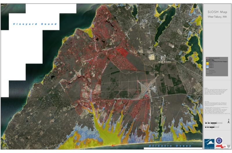
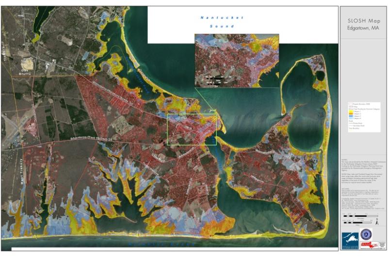
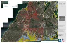
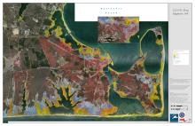
The Martha's Vineyard Commission has released a series of inundation maps, which indicate areas at high risk of flooding during the upcoming storm. Those who are located in the at-risk areas are encouraged to take proper precautions, including relocating to higher ground.








Comments
Comment policy »