Vineyard Conservation Society's Rising Seas Awareness Project
Tuesday, May 7, 2013
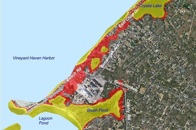
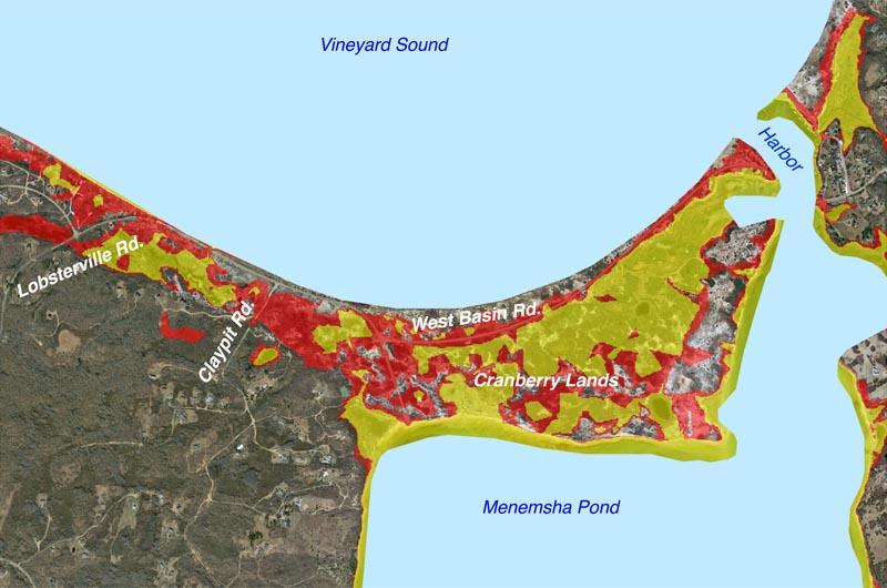
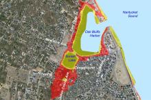
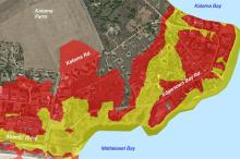
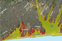
The following maps show the sea level rise on Martha’s Vineyard that is predicted based on the Intergovernmental Panel on Climate Change’s high forecast for greenhouse gas emissions and numerous other analyses.
These forecasts are also used for the state’s Climate Change Adaptation Report (2011) and the Martha's Vineyard Commission’s planning work.
• Areas shown in YELLOW on the maps would be flooded by a sea level increase of 1 meter (3 feet, 3 inches) — forecast to happen shortly after midcentury (2050 to 2070).
• Areas shown in RED would be inundated by an additional one meter of sea level rise, to a total of 6 feet, 7 inches — forecast to occur soon after the end of the century (2100 to 2120).
The maps do not show additional flooding that would result from high tides or storm surges/










Comments (1)
Comments
Comment policy »