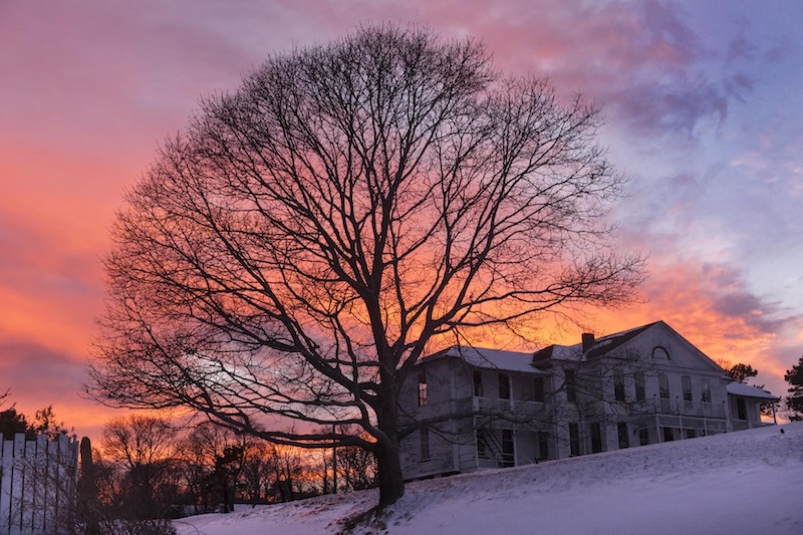
From the Feb. 3, 1939, edition of the Vineyard Gazette:
Not long ago there was an inquiry concerning the site of the old marine hospital on the shores of the Lagoon. In 1890, Dr. Charles E. Banks wrote at some length concerning this institution which even then lay in ruins.
It has been said that the hospital which stood at this place was the first marine hospital in the United States. However, it developed later that a marine hospital was erected in Virginia in 1788. The Island hospital was completed in 1798, a good ten years later. The United States marine hospital service was authorized by law in 1798, but the first hospitals under this authorization were not built until later.
Dr. Banks, in writing his article in 1890, drew facts from a report of the hospital service printed in 1875. But it happened that this report listed the Virginia hospital as completed in 1800, the year it was purchased by the federal government, not the year it was built. Dr. Banks later obtained the full facts and sent a correction to the Gazette.
Thus, although the institution was not the first of its kind in the whole country, it was certainly the second. The land was purchased from Malatiah Davis, and the house which formed the nucleus of the hospital was bought from Jane Smith and her son Ebenezer, and was moved from the Highlands.
As far back as 1824 the hospital had been abandoned, and an old fisherman known as Daddy Richardson lived in the building. After the death of Richardson it fell into ruin.
Eastville at this time of year, at least when one ventures inland off the main highway from Vineyard Haven to Oak Bluffs, has a rather solitary look. But it is a firmly inhabited district and a domain which mainland city dwellers would envy, if they were sufficiently well informed. Spots like this, their air thick with clustering association of the past, are of the elect places of the Vineyard.
The little bridge across the opening between Quitsa and Stonewall Ponds, which connects the Island of Gay Head with the Vineyard proper, used to be called Stonewall Bridge by the older inhabitants. In later years it has been called Hariph’s Creek Bridge, which is declared by the older people, to be a misnomer. The present generation is beginning to entertain the opinion that the older name is probably correct, and for good and sufficient reasons. It would almost appear that the site of the bridge was once occupied by a stone wall, such a stone wall as might have been erected around a fortification or something of the sort.
The bridge, which had been in use since the road to Gay Head was hard-surfaced several decades ago, was washed out and destroyed by the tidal wave last September. Arrangements were made without a great deal of delay to have the bridge replaced by the state Department of Public Works, and in the meantime, a detour was arranged through the adjoining fields, across the beach and among the hills, to enable traffic to pass from Chilmark to Gay Head. For although Gay Head is actually an island, an artificial barrier on the beach prevents the creek from flowing except when it is desired that it shall be opened, and thus a way to Gay Head was provided.
The old bridge, including the fill at each approach, was perhaps forty feet long, with an eight-foot opening in the center through which the tide flowed. After the tidal wave had struck, the opening where the bridge had stood was much wider than before. It was planned, therefore, to increase the length of the bridge and leave more of an opening beneath to allow free passage of small boats, also to provide for the flow of another tidal wave in case it should come that way.
The plan called for four rows of spiles, driven into the bottom of the channel, with a deck above, hard surfaced, and it looked like the simplest thing in the world when the contractors took hold of the job. Then, they found out about the stone wall.
Where it came from, what it was or why, no one knows. It may be the remains of previous bridges, tumbled into the channel, the foundations of them, or perhaps the relics of an attempt by the early settlers to fill in the entire channel with rocks. At all events the builders of the bridge have encountered difficulty since the work began through the presence of rocks. Big and small ones, the channel bottom was covered, the sand and mud was filled with them and the spiles just would not drive.
Dredging to a depth of sixteen feet, and blasting with dynamite helped some, and twenty-one of the spiles had been driven on Wednesday of this week. There were but seven more to be driven, but after their experience, no man could possibly say how long it might take to drive the remaining spiles.
In the meantime, a return to the older name of Stonewall Bridge is in order. Hundreds of tons of stone have been lifted from the channel, and there are still plenty more left. The name is descriptive, and ought to stick. If anyone doubts it, as the bridgebuilders, they know!
Compiled by Hilary Wall
library@mvgazette.com


Comments
Comment policy »