
The landscape has its own language, and the names of the land tell a story of place.
Growing up in the suburbs, I had little sense of place. Most of the names of the places I knew were the result of developers generically labeling lands that were formerly farms and open spaces.
The Vineyard has always struck me as the opposite, a place with names evocative of the people and the lands that they describe, with a satisfying deep dive into history, geology, nature and landforms.
Two recommended books have guided this exploration. The first, Names of the Land Cape Cod, Nantucket, Martha’s Vineyard, and the Elizabeth Islands by Eugene Green and William Sachse is “a compendium of Cape-area proper names, with derivations.”
The other is Home Ground: A Guide to the American Landscape, compiled by Barry Lopez and Debra Gwartney.
The latter is a collection of landscape terms described by well-known writers that Michael Pollan describes as “a treasure house of a book” and shares that “to learn these terms for features of the landscape is like putting on a new pair of glasses — the land comes more vividly into focus.”
Well, folks, put on those glasses and we will explore a few characteristics of the Island landscape.
Land has often been compared to anatomical parts. Consider that landforms can be referred to as a head, neck, foot, arm, elbow, finger, mouth, tongue, tooth, nose and spine.
A common body part here is a “neck,” which is a narrow stretch of land between two areas of water. Here are a few Island examples, though these are not the only ones: Felix Neck, Cedar Tree Neck, Nashamois Neck, Jobs Neck, North Neck, Scrubby Neck, Starbuck Neck and Swan Neck. A narrow stretch of water can also be called a neck, as can an area of forest settlement (neck of the woods).
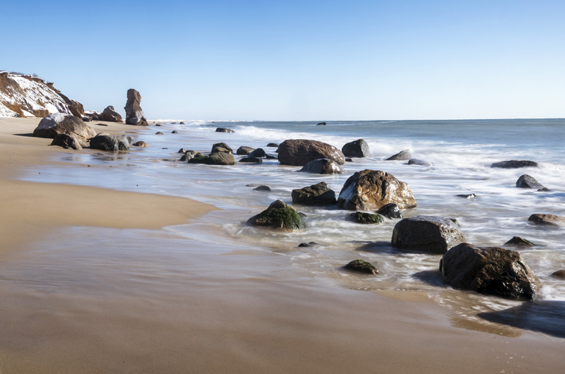
Another landform is a head, likely a shortened version of headlands. A head — think Gay Head, Makonikey Head or Husselton Head — is a prominent land feature described as jutting far out from a coast. Usually these areas are “found along rocky, geologically youthful coastlines” and are still being affected by erosion and wave action.
Next up is bottom, from bottomland, which is a low part of land, often alluvial or associated with water or the drainage of water. Some familiar Island bottoms (not the ones you see at the nude beach) include Deep Bottom, Waldron’s Bottom, and Willow Tree Bottom. These are also considered frost bottoms, areas that once drained glacial meltwater into the great ponds and now can have frost year-round.
Though not anatomical, hollows and holes abound. Devil’s, Green and Husseltons are Island hollows, and Dodgers and Holmes and well-known holes. Hollows are sheltered valleys, sometimes between mountains or high land areas. Holes on land are just what you think, pits in land that were scoured out by rock or glacial action — examples of these are kettle holes or ponds. Holes can also share a similarity with hollows, by being sheltered safe harbors.
There are so many more names and places to explore, including bights, points, and ridges, among others. And then, consider the Native American and historical names, and the depth of our histories become even more significant.
With a map, or just a knowledge of local place-names, you can explore the Island from The Highlands to The Narrows to The Gut. And if by some chance you didn’t know where you were, you would at least know the kind of place you were — the kind of place that cherishes and preserves a good descriptive place-name.
Suzan Bellincampi is director of the Felix Neck Wildlife Sanctuary in Edgartown, and author of Martha’s Vineyard: A Field Guide to Island Nature.


Comments
Comment policy »