
People who walk in the woods to get away from the incessant demands of technology may be surprised to discover their pleasure enhanced by a new Island app.
This weekend, timed to coincide with National Trails Day, Sheriff’s Meadow launches TrailsMV, an iPhone application that helps users find and follow the many hiking trails that crisscross the Island.
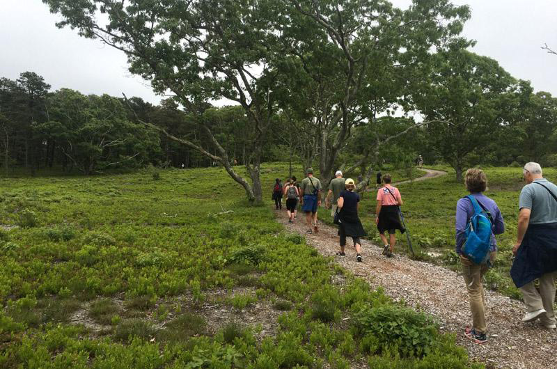
There are some 200 miles of interlocking walking trails on the Vineyard, some claimed from ancient ways and others cut anew through the landscape. Most are owned, marked and maintained by the Martha’s Vineyard Land Bank, which is hosting its annual Cross-Island hike on Saturday, a 17.5 mile journey this year, beginning at 8:15 a.m. on Menemsha Beach. Others trails crisscross properties held by Sheriff’s Meadow, Mass Audubon and The Trustees of Reservations.
A printed map created by the Land Bank provides an overview of Island land under conservation, including the trails, and a booklet produced by the Vineyard Conservation Society details individual Island hikes. Until now, these were the best navigational tools available.
Thanks to Sheriff’s Meadow, TrailsMV follows the same model of inclusiveness, but adds a new dimension, making it easy to discover and move from one network of trails to another.
So put on some sturdy shoes, apply sunscreen, lay on the bug spray and download the TrailsMV app. It’s time to take a hike.


Comments
Comment policy »