
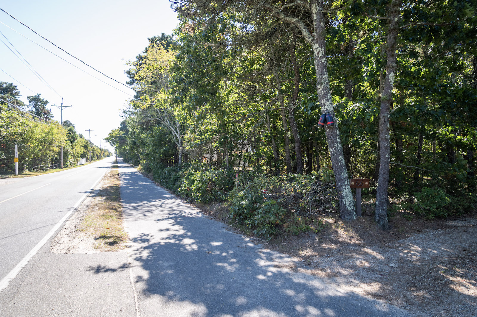
A controversial plan for a path in Katama is headed this fall to the Edgartown select board for consideration.
The town planning board held a hearing last week on Swimming Place Path, a thin dirt trail that runs between Road to the Plains and Herring Creek Road. The Martha’s Vineyard Land Bank has asked to clear the path to make it more accessible, which has drawn criticisms from homeowners in the area.
After hearing public comment, the planning board voted 3-2 to send the proposal to the select board for further approval.
Many in the room at the Sept. 15 meeting were abutters to Swimming Place Path and opposed the effort to expand the ancient way due to privacy and safety concerns.
“It’s not particularly seen as a walkway and it doesn’t connect anything,” said Jim Martin, president of the Edgartown Estates Association. “So, it’s very difficult to see what benefit is going to be afforded to the public by opening that up.”
Additional concerns brought up by the community included parking and the rights to public access, which according to members of the planning board will include pedestrians, non-motorized bicycles and equestrians.
“A lot of these little paths, like this particular one, really will be considered a neighborhood path until it does reconnect to another path,” said Steve Ewing, a representative for the Land Bank in Edgartown. “Whether you want to or not, you might really appreciate it. In the end, a lot of people consider these paths as assets.”
The path is about 350 years old, and the Land Bank had initially proposed to make a wider gravel path. The Land Bank later proposed clearing the path to be five or six feet wide.
Over the years, the path has become overgrown and in some parts is currently inaccessible to the public.
“This public meeting was supposed to be about the specific location of the path, not about whether we were going to recommend it,” said Julia Livingston, a member of the planning board. “That’s what this meeting was supposed to be about and I understand it’s always a good idea to hear from everybody, but to me, right now it’s very hard to access this path because it’s so overgrown.”
Voters allocated funding for the project at town meeting in 2022, and, at the time, the assumption was the land was owned by the town. A title examination in 2024 later revealed that the land belongs to the private landowners.
Landowners in the area felt the planning board’s vote to kick the project up to the select board was ignoring their concerns.
“None of our concerns have been addressed in any way, shape, or form, and somehow this path keeps reviving when none of our issues are being addressed,” said Jenny George, who lives along the proposed path.
Mr. Ewing noted that the ancient way, first recorded in 1675, has a long history in town.
“This path has been here a long time, long before any of your houses were built,” said Mr. Ewing. “[The town council] concluded that protection of the path and continued public use of it are consistent with recorded local policy. This is what the planning board is trying to enforce, consistent with recorded local policy.”



Comments
Comment policy »