
Edgartown residents expressed concern for their privacy after a plan to reestablish an ancient way in Katama was proposed to the planning board last week.
The town is seeking to improve public access to Swimming Place Path, a nearly 350-year-old trail that connects Herring Creek Road and the Road to the Plains. The ancient way was first recorded in Edgartown records in 1675, according to a report from the town and Martha's Vineyard Land Bank attorneys.
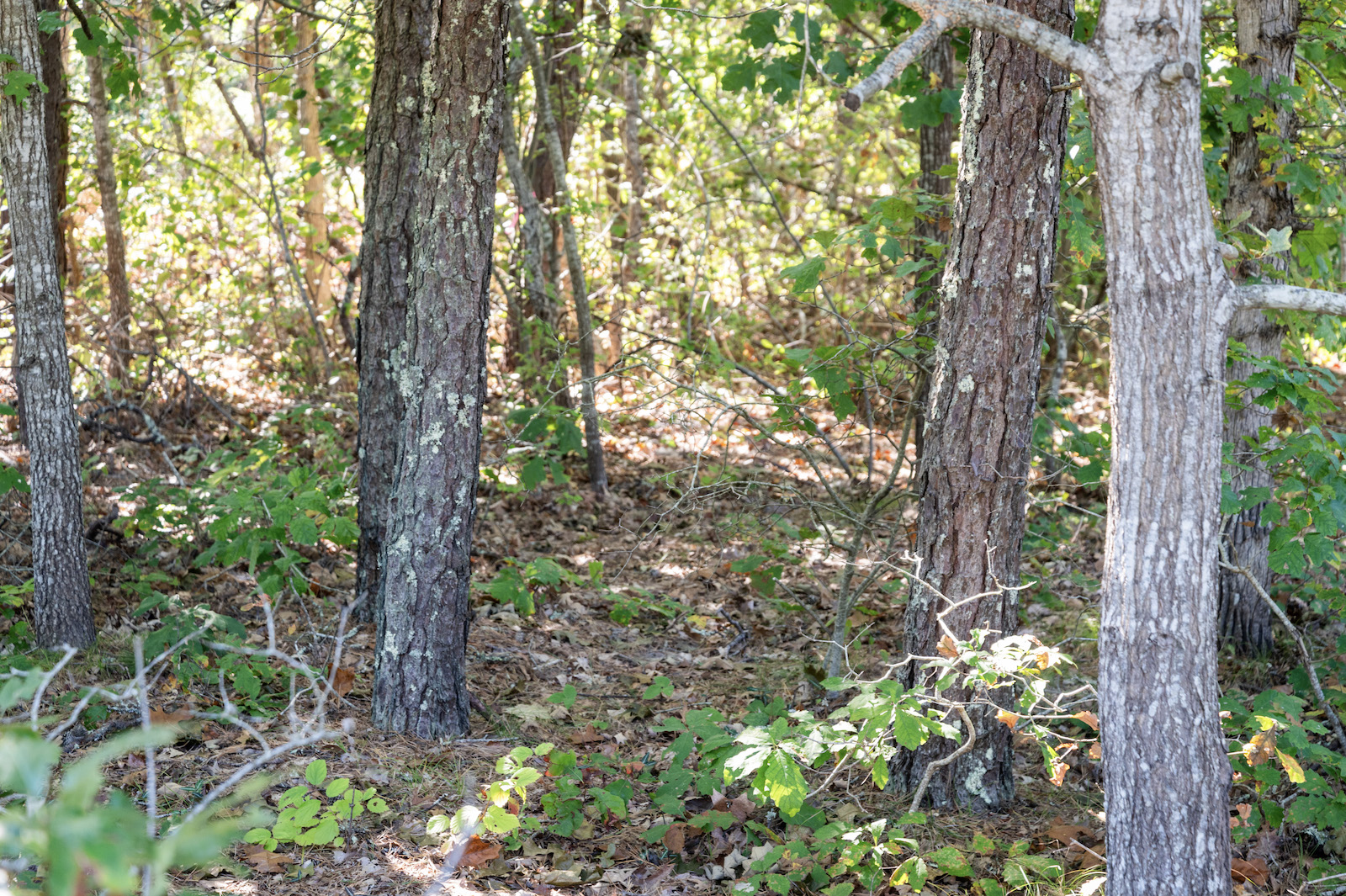
The path was traditionally used by farmers along Edgartown Great Pond. Farmers would take their livestock along the path to get to an area known as Swimming Place, and then have their animals swim across Katama Bay to Chappaquiddick.
The path has since been largely forgotten, and the Edgartown Estates subdivision owned most of the corridor that contained the path.
At the Edgartown town meeting in 2022, voters approved appropriating $64,000 in Community Preservation Act funds to create a gravel shared-use path to make the ancient way accessible to the public once again.
The Martha’s Vineyard Land Bank has been assisting the town with the project, and Bill Veno, the trail planner for the land bank, said the vote was taken with an understanding that the town owned the land the path sits on.
A title examination conducted by the land bank's lawyers in July found that the land belongs to the private landowners, chief among them the Edgartown Estates Homeowners Association, but that the trail remains in the public domain.
“Even though it’s privately owned, there is still a public right to it,” said Mr. Veno.
At the hearing on Tuesday, Beverly Stotz, who lives on Schoolhouse Road and has the path running through her backyard, said she and her neighbors are concerned the path will invade their privacy.
Ms. Stotz is leading a group of roughly 30 abutters that is calling on the town to halt the project.
“It’s a development project to reroute, to recreate, to rebuild a path, and it seems to have not so much to do with preservation of what’s there today,” Ms. Stotz said.
She presented photos that showed tarps that the neighbors had laid out, signifying where the path would be. Ms. Stotz wanted to give the planning board a visual of how close the path would be to neighbors’ houses.
“If the proposal were to be approved and the path would be rerouted, it would literally be three or four feet from the edge of this property line… which happens to be my house,” Ms. Stotz said.
Another abutter, Dorothy Gunderson, who has lived on the Island for 60 years, said she’s particularly concerned the path will inhibit residents’ safety.
“...Feeling safe in our homes, means when we look out our kitchen window, there’s not a stranger standing and staring back at us, because now he can,” Ms. Gunderson said.
Jerry Twomey and his wife Sandra Kersey said they are concerned about the environmental impact of the project.
“This area connects wildlife populations that are already separated by human activity,” Mr. Twomey said. “...These corridors allow wildlife to move between our habitats, which help with food and shelter needs. How many trees will need to be destroyed to create the path and accommodate fencing, and how many surrounding older trees will need to be destroyed because homeowners will suddenly be worried that they could fall in a storm and injure someone on the path.”
Ms. Stotz also noted that it would be difficult for EMS to reach the public if there were an accident on the trail. She said there is no public parking near the trail, and the path could encourage illegal parking.
Some Edgartown residents have voiced support for the project in letters to the planning board.
“I believe it is vitally important to protect the old pathways and ancient ways from encroachment and suburban development,” wrote Robin Bray. “These paths and old roads are part of our Island’s history and once gone are lost forever.”
The planning board agreed to continue the hearing to the Oct. 22 meeting and scheduled a site visit that same day.


Comments (31)
Comments
Comment policy »