For Vineyarders and their visitors, it was a dream year for weather.
They enjoyed plenty of sunshine, with most of the Island’s rain falling at night. They also dodged some of the region’s most dramatic weather, including the remnants of a large hurricane and heavy snowstorms that landed elsewhere in New England.
Farmers saw their gardens flourish, only occasionally needing to irrigate. Charter fishing captains seldom had to cancel trips because of high winds or high seas, except for a few days during the fall striped bass and bluefish derby.
The highest temperature of the year was 88 degrees and that happened three times in July. The highest temperature in August was 87. The Fourth of July weekend was picture-perfect.
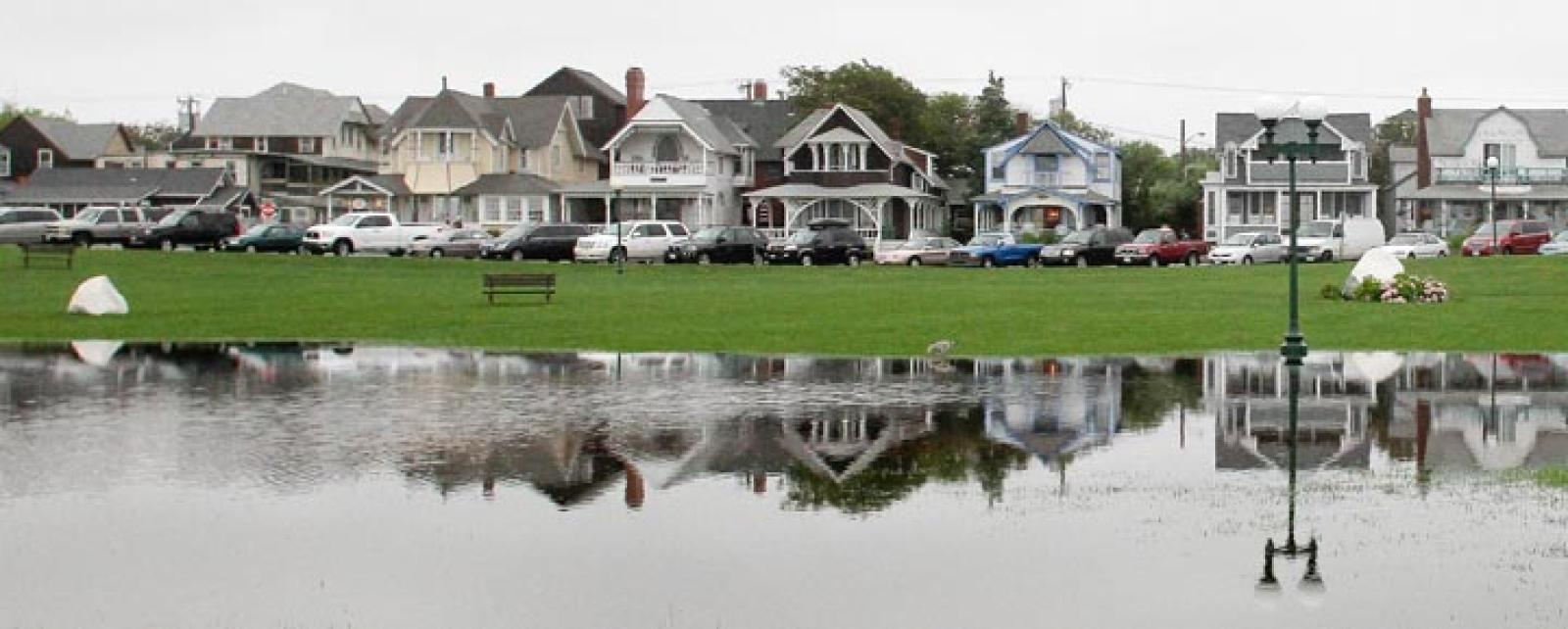
Rainfall was rarely heavy enough to cause flooding, as it did on the mainland. Most months were close to average in precipitation. Precipitation for the year was just two inches over the 45.82-inch annual total, in contrast to 2010 when precipitation was 10 inches more than the annual average.
And snowfall was about half the annual average.
The drama in the Vineyard’s weather year was how mild it was. When Hurricane Irene came up the coast on August 28 and headed inland, it dumped over 11 inches of rain in parts of Vermont; by contrast, the Vineyard received .03 inches and some stiff wind.
The worst part of Irene wasn’t her wind or rain here; it was the impact on the local economy. Many tourists stayed away based on forecasts.
There was a shortage of stiff breezes last summer, if you ask sailors. Capt. Robert S. Douglas of the topsail schooner Shenandoah told the Gazette last fall there was too little wind for his liking. His schooner is entirely powered by wind, so he would know.
In most cases, though, there was wind enough for all the big sailing events of the summer.
The Vineyard experienced more than its usual share of thunderstorms, three in August and at least four in July, with the July 23 storm bound to be a lasting memory for some Island sunbathers.
On that Saturday, the squall line passing over the Vineyard turned day into night within minutes. Bathers fled the beaches as lightning filled the sky. Even though the storm lasted less than an hour, it was a rare event, because of the potential for damage.
The National Weather Service called the Gazette afterwards to ask how the Island had fared through what the radar portrayed as a severe and dangerous storm. But rainfall was a third of an inch and damage nil.
This year, Boston received 81 inches of snowfall, twice the annual average. Worcester received 92 inches of snow. But here on the Island, snow sleds sat mostly idle as total snowfall reached only 12 inches, compared to an annual average of 24 inches. Except for two or three days in January and February when youngsters rode the hills from early morning to late afternoon, the word was out: Sledding on Martha’s Vineyard was an endangered pastime.
Missing big snowstorms and other inland storms came as no surprise to one of the National Weather Service top meteorologists at Taunton. “Fifty miles either way can make a big difference for the Cape and Islands,” said Bill Simpson.
October was the Vineyard’s wettest month of the year with 7.27 inches of rain, nearly twice the monthly average, and the product of several storms. There were 20 days in October with measurable precipitation, with the most — 1.70 inches — falling the day before Halloween.
Perhaps the biggest weather story for 2011 came in the latter part of the year, with an unseasonably warm autumn and early winter. December has been remarkably warm, possibly one of the five warmest in recent record keeping, according to Mr. Simpson. Three days this month saw the thermometer reach 60 degrees and 14 days when it touched 50 or warmer.
In December 2010, the temperature reached 50 degrees or warmer only four times.
“It has been a lot warmer than normal in a lot of places, compared to last year,” said Paul Walker, a senior meteorologist with Accuweather, based at State College, Pa.
Mr. Walker said New England will finish the year with slightly warmer-than-normal temperatures.
“We are not seeing the colder air we would expect,” Mr. Walker said. “The jet stream is split. The southern portion has brought storms to southern parts of the country, while the northern branch has not allowed big storms to come our way.”
Looking ahead, Mr. Walker said a cold front is headed to the Island next week, but longer-term forecasting models are in conflict over what lies ahead after that. “Some of the long-range models say a mild winter,” Mr. Walker said.
On the other hand, Mr. Simpson said: “I looked at some of the long-range climate predictions and we still have an equal chance that we will have a normal winter.”


Comments
Comment policy »