One of the coldest and rainiest springs in recent memory in the Northeast, combined with above-average water temperatures in the tropics, has experts predicting an active hurricane season along the Atlantic Coast this summer.
An extended range forecast from Colorado State University climatologists issued last month is predicting eight hurricanes, up from an average of 6.4 annually. They are also predicting four major hurricanes (any storm above a category 2), up from the average of 2.7, almost 11 more hurricane days than average and three more major hurricane days.
The U.S. East Coast, including the eastern side of the Florida peninsula, has a 45 per cent chance of experiencing at least one major hurricane landfall this year, according to the forecast. The average chance of a major hurricane making landfall on the U.S. East Coast is normally 31 per cent.
“We anticipate that the 2020 Atlantic basin hurricane season will have above-normal activity,” the report states. “The tropical Atlantic is warmer than normal, while . . . the far North Atlantic is anomalously cool.”
The dire forecast from CSU aligns with other major hurricane season predictions that have been released in the past two months.
The Atlantic hurricane season runs from June 1 through Nov. 30. The National Hurricane Center (NHC), an arm of the National Oceanic and Atmospheric Administration (NOAA), normally puts out its seasonal hurricane forecast in late May, according to spokesman Dennis Seltgen.
The last major hurricane to scrape the Island was in October 2012, when the remnants of hurricane Sandy swirled up the eastern seaboard, closing roads, flooding streets and downing trees. Hurricane Bob, a category two storm in 1991, was the last time the Vineyard experienced a direct hit from a hurricane.
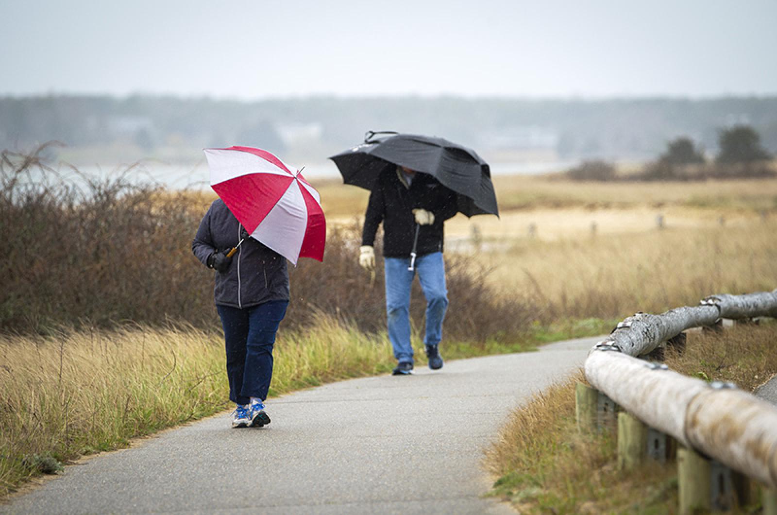
Meanwhile, Martha’s Vineyard has experienced one of the coldest springs in the past 50 years, with average temperatures from April far below the monthly mean as Islanders remained cooped up inside during the pandemic’s monthlong stay-at-home order.
According to data compiled by the National Weather Service in Norwood, April 2020 had the lowest monthly maximum temperature since at least 1975, with the daily high only reaching 60 degrees Fahrenheit twice in Edgartown.
At the Martha’s Vineyard Airport, the mercury only reached 60 degrees once throughout the entire month — on April 7 — making April 2020 by far the coldest month since record-keeping began in 1998. The April with the second-lowest maximum daily high came in 2000, when the temperature reached 64 degrees two times during the month. But that year, the average daily high was almost two degrees above April 2020 — and the hottest day was four degrees hotter than in 2020.
For reference, there were six days in April 2019 with recorded highs above 60 degrees, and two days that reached 70. There were only four days in which the high did not reach 50 degrees in April of last year. This year, there were 13 such days, meaning that high temperatures were in the 40s for almost half the month — the most in the past 20 years.
The 42.9 daily average mean temperature recorded at the airport in April 2020 was the lowest since April 2003, when the average temperature recorded was 42.7 degrees. The average April mean temperature over the past 20 years was 45.9 degrees, three degrees higher than 2020.
It was also an unusually rainy April. In Edgartown, the Island received 5.9 inches of precipitation, up approximately 1.6 inches from its annual average of 4.28. Only three Aprils in the past 20 years saw more rainfall.
The historically chilly conditions have continued into May this year. Last week, the Island touched 30 degrees on the evenings of both May 5 and May 6. And on both nights over this past weekend, frigid temperatures dipped into the mid-30s.
At the airport, the normal average high recorded through the first ten days of May is 61.3 degrees. This year it has been 59 degrees, with temperatures not reaching 60 in seven of the month’s first 10 days.
And Islanders shouldn’t put away the fleece pullovers and slickers yet. Forecasts calls for temperatures in the 50s over the next week, with rain on the weekend.


Comments
Comment policy »