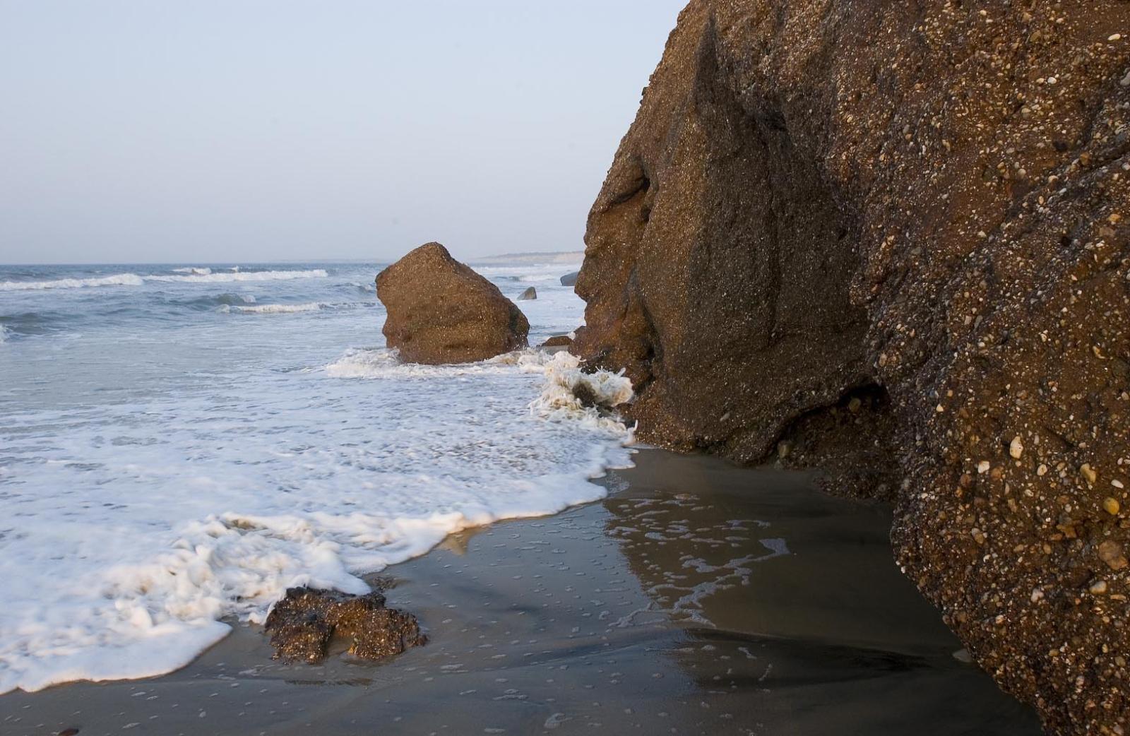
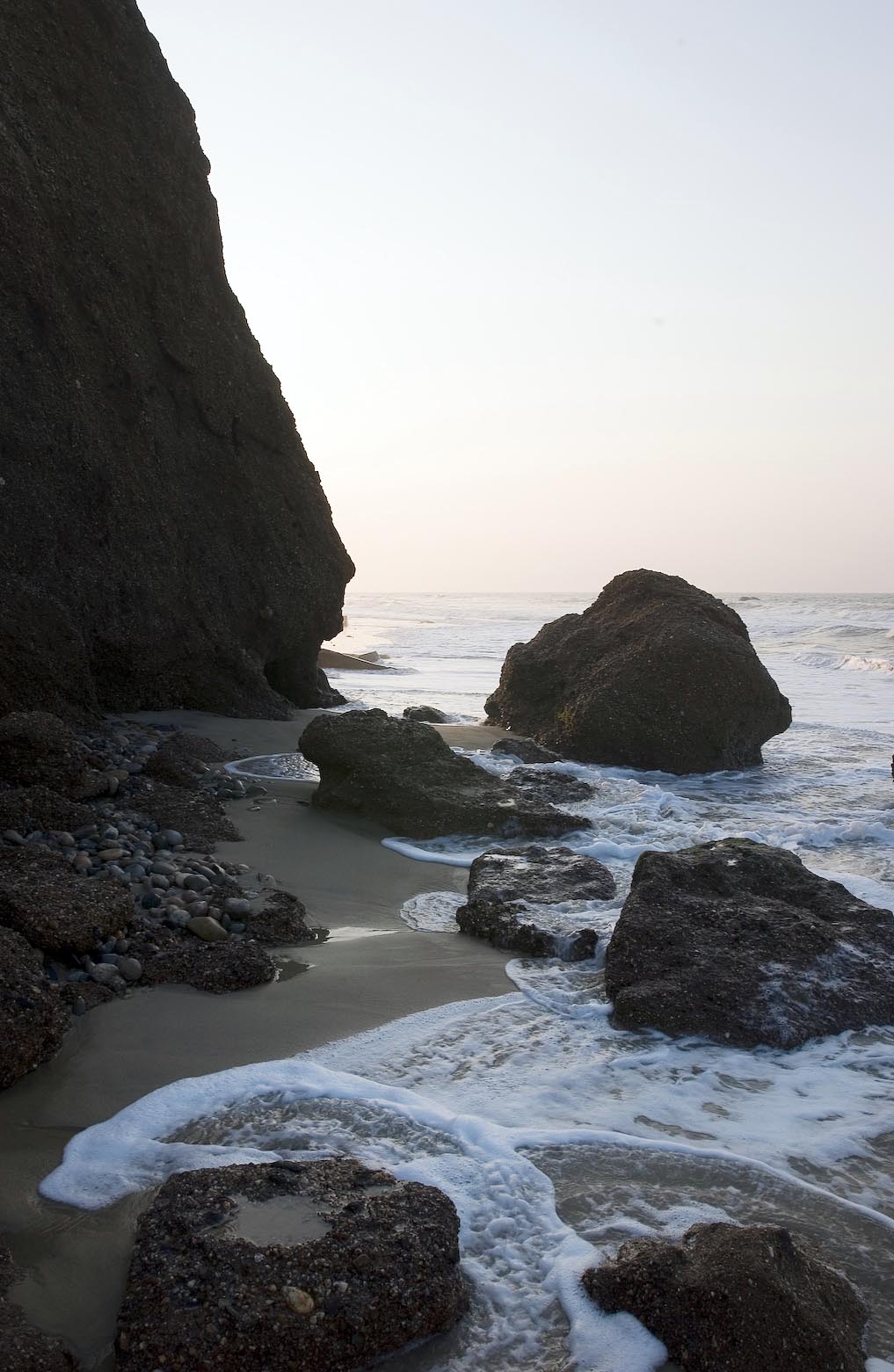
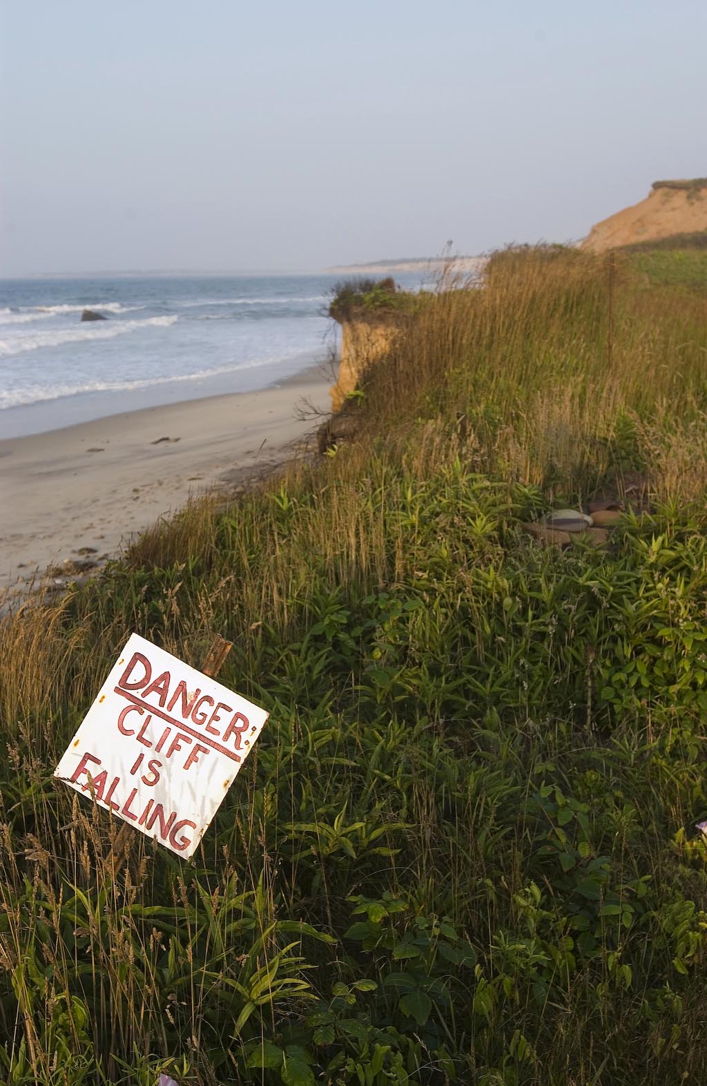
Coastal erosion has split Lucy Vincent Beach, temporarily cutting off a portion frequented by nude bathers at the point of a fossil-encrusted cliff, stretching the beach patrol and putting swimmers at risk.
In a highly unusual scenario, the tide is extending all the way up to the cliff face at high tide and bringing part of the cliff with it as it recedes.
The shoreline has extended to near the cliff face for shorter periods of astronomical tides and during extreme weather in the past. But according to beach superintendent Martina Mastromonaco it is rare for it to come up this far and for this long.
“We haven’t had this little beach here since I come on in 1996,” said Mrs. Mastromonaco. For it to recede, she added, a long period of calm weather is required. “Meanwhile we’re looking at a possible hurricane. We can expect to see it bad for a long time. And right now it’s dangerous.”
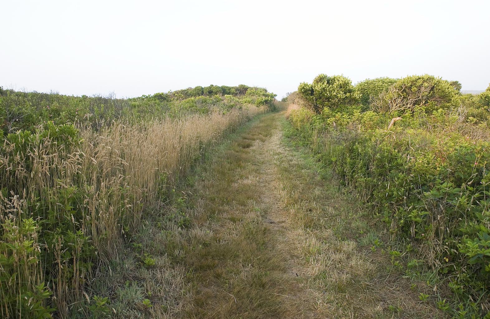
While the two sections are inaccessible by sand, Chilmark guides and beachgoers are using a path that snakes behind the cliff and back on to the beach. The path, which has existed for decades but until recently was overgrown and obscured through lack of use, is infested with deer ticks and poison ivy according to Mrs. Mastromonaco.
She added that using the path might itself be making things worse.
“We have to get the word out not to stray off the path because that’s causing further erosion,” she said.
The hours of beach inaccessability change daily depending on the tides, and can be altered by weather conditions. The beach patrol has posted pictures on the cliffs of what the rocks look like at high tide, but Mrs. Mastromonaco warns against bathers attempting to time their swims around the tides.
“There are large rocks and families with small children and it’s not safe,” she said, “People think they can time it, but there’s sharp edges on those rocks and all kinds of bacteria. I wouldn’t swim there.”
A child using a body board by the cliff was injured earlier this month. He was washed into a rock, transported by ambulance to the hospital and treated for minor injuries.
The split is also making beach patrol much more difficult, presenting safety issues in the process.
“It’s like patroling two beaches,” said Mrs. Mastromonaco, “the guards work 11-hour days and rotate every one-and-a-half to two hours. When they do this, inevitably a part of the beach is temporarily unmanned — there’s always one station not covered. I’m doing the best I can to staff both areas.”
Too few guards patrol Lucy Vincent for the beach to be officially considered lifeguarded, she said. She added that the Chilmark guards, as they are known, are all trained lifeguards and in first aid.
In emergencies the fire department deploys an all terrain vehicle to navigate the cliff.
Though she has no idea when the tide will finally recede, Mrs. Mastromonaco is confident that she and her team can handle the situation.
“I have complete confidence in the guards and I’ve been doing this for a while. I’ve had men of war, sharks . . . I’ve had to deal with a variety of situations.”
Island coastal erosion is an ongoing and live issue. Rocks that can be seen jutting out of the water on Lucy Vincent beach, even at low tide, were part of the land not long ago. Since 1915 the beach has eroded 400 feet.
In geological terms, as Jo-Ann Taylor, coastal planner for the Martha’s Vineyard Commission points out, this whole Island is eroding at quite a clip.
“The Island hasn’t been around long at all, geologically speaking,” she said. “Islands like this come and go.”
Martha’s Vineyard has only been an Island for around 10,000 years. Before that it connected to the mainland via Georges Bank, now underwater.
Traveling in a west to east direction, gulf stream currents churn up land causing erosion, particularly in areas such as the south side of this Island where sediment is finer. Added to this, tides, previously rising eight inches per century, are rising at a significantly quicker rate due to global warming.
Erosion is progressively speedier on the Island travelling south from the moraine. Squibnocket beach erodes at an average of one and a half feet per year, while Chilmark pond is at three feet. Lucy Vincent, situated between the two beaches, is somewhere in the middle. By the time the continuous ring of sand reaches Katama the beach is eroding an average of 11 feet a year.
The impasse at Lucy Vincent beach is from a fast-changing landscape. The truth may hit home on “those foolish enough to build a fancy house on top of a bluff” sooner than they think, said Ms. Taylor.
“Beaches change all the time; that’s what they do,” she said, “Lucy Vincent’s just going to keep eroding and it’ll be gone.”


Comments (1)
Comments
Comment policy »