The breach at Norton Point, with its ever-shifting inlet, dramatic changes in currents and resulting severe erosion, was the subject of a daylong conference Thursday for members of the scientific community and interested Islanders.
Scientists and others gathered at the Harbor View Hotel for the discussion about Norton Point, Wasque, Katama Bay and Chappaquiddick, billed as “one of the most dynamic coastal systems in Massachusetts.”
With the outer Edgartown harbor as a backdrop across the street from the hotel on a sparkling June day, scientists said the area’s complex tidal systems, waves and currents paired with the recurring breach make it a natural focal point for scientific study.
And as is often the case with scientific inquiry, questions and areas to plumb for more information were more abundant than answers.
In 2007, a mid-April storm breached the barrier beach at Norton Point, a long spit of sand that connected Katama with Chappaquiddick. The breach has moved steadily eastward and is now parallel to Wasque beach.
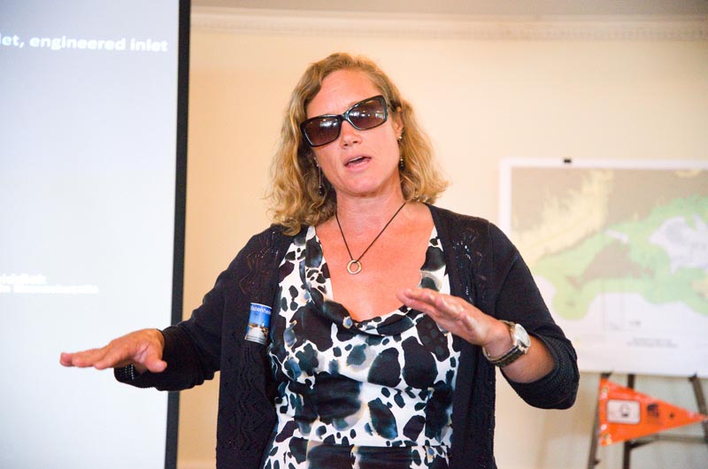
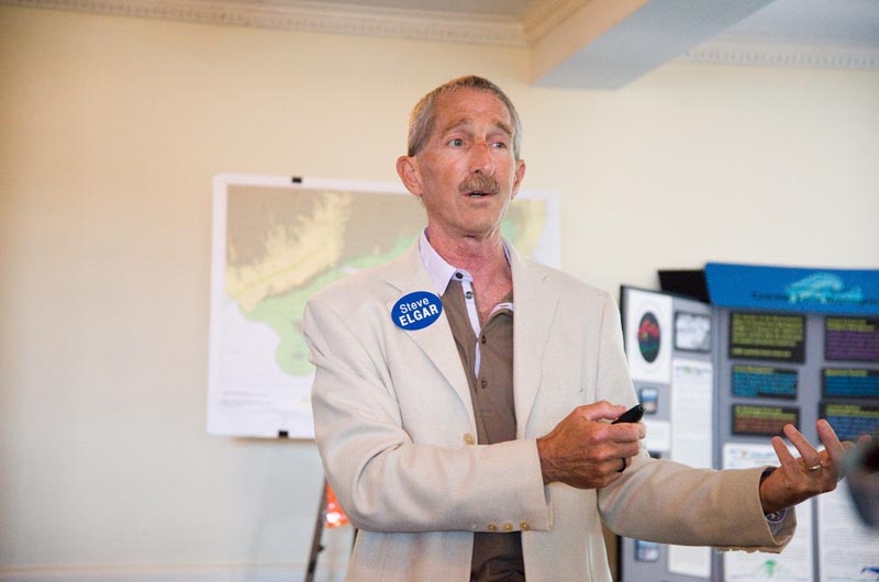
In the years since the breach, scientists have used the area as a living laboratory. On Thursday Britt Raubenheimer and Steve Elgar, scientists with the Woods Hole Oceanographic Institution (WHOI), explained how they have deployed sensors around Edgartown harbor and Katama Bay and used tide gauges and wave gauges on the ocean and in the inlet to collect data and create detailed maps of the ocean floor, tides, waves and currents. Some data was gathered using jet skis with sonar, GPS and other tools.
Ms. Raubenheimer said her team was out at Norton Point almost every day during the summer and fall of 2011. The goal is to understand what causes breaches and the evolution of the inlet.
The breach is “changing really rapidly,” Mr. Elgar said.
Mr. Elgar said he’s looking at questions including whether waves, tides or storms move the sand, where the sand goes and where it comes from, and what happens when the inlet closes. The scientists are also looking at what impact the length and duration of storms have on the breach and conditions.
The scientists are working on a computer model — “the beach equivalent of a flight simulator,” Mr. Elgar said — that will predict breaches and closures based on a variety of scenarios, including sea level rise, more frequent and stronger storms and engineered projects.
Mr. Elgar and Ms. Raubenheimer have received funding from the U.S. Department of Defense, as did fellow WHOI scientists Rocky Geyer and Peter Traykovski, who presented information about shoals. The reason the Department of Defense is so interested in Martha’s Vineyard, Mr. Geyer said, “has to do with the fact that there are other places in the world that have similar processes, too.”
Additionally, “if we look at this environment, it’s really got a remarkable set of land forms,” he said.
As part of the study, Mr. Geyer noted, people might notice a “robotic kayak going around without any people in it this summer.”
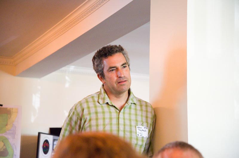
Mr. Traykovski said his work on shoal formation indicates that a shoal to the south of Wasque, Skiff’s Island, seems to appear when Norton Point is breached.
“Based on this current cycle,” he said, Skiff’s Island “made a big appearance, most prominent after about two years of the inlet being open.”
But in the end, he had speculations instead of conclusions when it came to the dynamic system. “We need about 40 years more of these satellite images,” he said.
While other discussions touched on how the changing shoreline affects shorebirds and shellfish, a later presentation focused on the project currently under way to move the Schifter house at Wasque Point. Coastal geologists W. Sterling Wall and Peter Rosen, who have worked on the project to move the 8,300-square-foot house and other buildings, discussed how rapid erosion made it necessary to move the house. The Norton Point breach system is “unlike any other system that I or the other coastal geologists have ever seen before,” said Mr. Rosen. He noted that the area is “consistent but unique,” repeating the same unusual pattern in cycles.
After the presentation, there were some tough questions from the audience about why the house was built in an area with a history of cyclical breaches and erosion.
“When the Schifters first built their house they didn’t have a chance to last 100 years,” said Edgartown shellfish constable Paul Bagnall. “In the new location they don’t have a prayer of lasting 100 years.” He said the extreme erosion rate at Wasque was well-known.
Chris Kennedy, the Martha’s Vineyard superintendent for the Trustees of Reservations who lives at Wasque, discussed how the breach has impacted life on Chappaquiddick. The breach closed off the only way to drive in an over-sand vehicle from Chappaquiddick to the main Island, he noted, but also created miles of new shorebird habitat.
“If you like change, you’re going to love Wasque,” Mr. Kennedy said.
Most of the questions about Norton Point — aside from a brief discussion of how to pronounce Wasque [Way-skwee] — centered on when and how the breach would close.
Scientists were reluctant to make hard predictions. “A big storm could come and push the spit landward,” Mr. Traykovski said. In this stage, he said, with the spit of sand overlapping Chappaquiddick, “it really is transient and ready to close, and eventually it will, but over a period of several years. It could go either way.”
He continued: “Right now I’m calling it almost closed, but it could be another five years it actually takes, and it goes through this transient stage . . . that’s a guess, these five years.”
“We are not there yet,” Mr. Elgar said. “That is certainly a good question, to try to figure out what are the conditions that will close it.”
“Some of us think one big storm is going to fill that hole up with sand and it’ll close. But I don’t know the answer to your question.”


Comments (4)
Comments
Comment policy »